Dulce, New Mexico Weather
Current Conditions at
PAGOSA SPRINGS - (KCPW)
Cloudy
as of 11:35 PM MST
Rel. Humidity: 73%
Dew Point: 14°F
Visibility: 10 Miles
Pressure: 29.89 in.
Flight Rule: VFR
Wind Data
15 MPH
Gust: 31 MPH
210° Southwest
Cloud Level(s): Scattered at 2600ft, Broken at 3200ft, Solid Overcast at 3800ft
Current Conditions at
DURANGO - (KDRO)
37°
Clear
as of 10:53 PM MST
Rel. Humidity: 60%
Dew Point: 25°F
Visibility: 10 Miles
Pressure: 29.79 in.
Flight Rule: VFR
Wind Data
3 MPH
140° Southeast
Cloud Level(s): Clear
Current Conditions at
FARMINGTON - (KFMN)
Mostly Cloudy
as of 10:53 PM MST
Rel. Humidity: 64%
Dew Point: 28°F
Visibility: 10 Miles
Pressure: 29.83 in.
Flight Rule: VFR
Cloud Level(s): Scattered at 4800ft, Scattered at 8000ft, Broken at 10000ft
Current Conditions at
ALAMOSA - (KALS)
32°
Clear
as of 10:52 PM MST
Rel. Humidity: 36%
Dew Point: 9°F
Visibility: 10 Miles
Pressure: 29.76 in.
Flight Rule: VFR
Wind Data
8 MPH
240° Southwest
Cloud Level(s): Clear
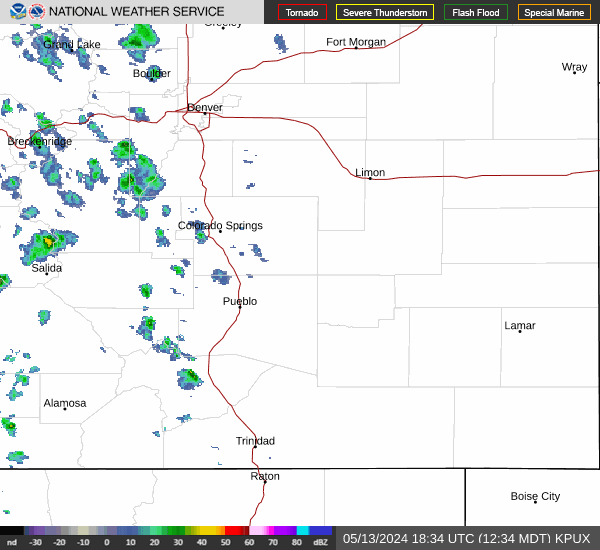
Current Radar Image
Sun Almanac for Dulce, New Mexico
Sunrise: 13:31 AM
Sunset: 01:07 PM
Civil Sunrise:13:05 AM
Civil Sunset: 01:33 PM
Nautical Sunrise: 12:35 AM
Nautical Sunset: 02:03 PM
Astro Sunrise: 12:05 AM
Astro Sunset: 02:33 PM
New Mexico's Current Temperatures
 New Mexico's Satellite Image
 New Mexico's Current Wind Direction
| National Summary |
of upper and lower values of current conditions amongst 6325 locations
in the contiguous United States |
|
High
Temp |
77° |
Viosca Knoll768, Alabama
and 4 other locations
|
|
Low
Temp |
1° |
Caribou, Maine
|
|
Wind
Speed |
32mph |
Sandburg, California
|
|
Wind
Gust |
47mph |
Sandburg, California
|
|
Wind
Chill |
-2° |
Minot, North Dakota
|
|
High
Pressure |
30.57Hg |
Presque Isle, Maine
|
|
Low
Pressure |
29.48Hg |
Charlie, Montana
|
|
| # Locations Reporting Snow |
56 |
|
| # Locations Reporting Rain |
106 |
|
| # Locations Reporting Thunderstorms / Lightning |
7 |
|
| # Locations Reporting Fog |
104 |
|
| Average Temperature in the Contiguous USA |
51° |
|
Any use of the information on this page is at your own risk. This information should not be relied upon in life-threatening situations, potential financial loss situations or in lieu of any officially disseminated information. Visit the
National Weather Service for official information.