No Watches or Warnings for Decker
Issued: 10:15 pm CST Dec 16, 2025 Latitude: 33.4890019 Longitude: -91.4395648 View on Google Maps
|
|
|
|
|
|
|
|
|
|
 |
 |
 |
 |
|
 |
|
|
| Low: °F |
High: °F |
High: °F |
High: °F |
High: °F |
High: °F |
High: °F |
High: °F |
| Low: °F |
Low: °F |
Low: °F |
Low: °F |
Low: °F |
Low: °F |
|
| Rain |
Rain |
Thunderstorms |
Sunny |
Sunny |
Partly Sunny |
Partly Sunny |
Partly Sunny |
Current Conditions at
MONTICELLO - (KLLQ)
46°
Clear
as of 9:53 PM CST
Rel. Humidity: 45%
Dew Point: 27°F
Visibility: 10 Miles
Pressure: 30.14 in.
Flight Rule: VFR
Cloud Level(s): Clear
Current Conditions at
GREENVILLE - (KGLH)
43°
Clear
as of 9:53 PM CST
Rel. Humidity: 65%
Dew Point: 32°F
Visibility: 10 Miles
Pressure: 30.15 in.
Flight Rule: VFR
Cloud Level(s): Clear
Current Conditions at
PINE BLUFF - (KPBF)
Clear
as of 9:53 PM CST
Rel. Humidity: 45%
Dew Point: 28°F
Visibility: 10 Miles
Pressure: 30.11 in.
Flight Rule: VFR
Cloud Level(s): Clear
Current Conditions at
MONROE - (KMLU)
45°
Mostly Cloudy
as of 9:53 PM CST
Rel. Humidity: 70%
Dew Point: 36°F
Visibility: 10 Miles
Pressure: 30.17 in.
Flight Rule: MVFR
Cloud Level(s): Broken at 2900ft
|
Tonight... A 40 percent chance of showers, mainly after 1am. Cloudy, with a low around 41. South wind around 5 mph becoming calm after midnight. |
|
|
Wednesday... A 30 percent chance of showers, mainly before 1pm. Cloudy, with a high near 57. Calm wind becoming south southeast around 5 mph in the morning. |
|
 |
Wednesday Night... A 20 percent chance of showers after midnight. Mostly cloudy, with a low around 51. South wind 5 to 10 mph, with gusts as high as 20 mph. |
|
|
Thursday... Showers, with thunderstorms also possible after 9am. High near 67. South wind 10 to 15 mph becoming west in the afternoon. Winds could gust as high as 20 mph. Chance of precipitation is 90%. New rainfall amounts between a tenth and quarter of an inch, except higher amounts possible in thunderstorms. |
|
 |
Thursday Night... Mostly clear, with a low around 34. Northwest wind 5 to 10 mph, with gusts as high as 20 mph. |
|
|
Friday... Sunny, with a high near 52. North northwest wind around 5 mph becoming southeast in the afternoon. |
|
|
Friday Night... Mostly clear, with a low around 38. South wind 5 to 10 mph, with gusts as high as 20 mph. |
|
|
Saturday... Sunny, with a high near 67. South wind 10 to 15 mph, with gusts as high as 20 mph. |
|
 |
Saturday Night... Partly cloudy, with a low around 52. South wind 5 to 10 mph. |
|
|
Sunday... Partly sunny, with a high near 67. |
|
|
Sunday Night... A 20 percent chance of showers. Mostly cloudy, with a low around 51. |
|
|
Monday... Partly sunny, with a high near 69. |
|
 |
Monday Night... Mostly cloudy, with a low around 52. |
|
|
Tuesday... Partly sunny, with a high near 71. |
|
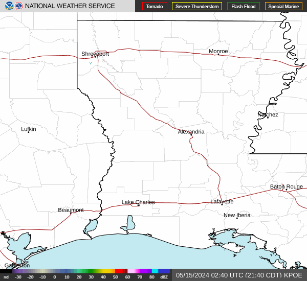
Current Radar Image
Sun Almanac for Decker, Arkansas
Sunrise: 07:03 AM
Sunset: 5:00 PM
Civil Sunrise:06:36 AM
Civil Sunset: 5:27 PM
Nautical Sunrise: 06:05 AM
Nautical Sunset: 5:58 PM
Astro Sunrise: 05:34 AM
Astro Sunset: 6:29 PM
Arkansas' Current Temperatures
 Arkansas' Satellite Image
 Arkansas' Current Wind Direction
| National Summary |
of upper and lower values of current conditions amongst 6897 locations
in the contiguous United States |
|
High
Temp |
75° |
Keathley C 875, Louisiana
|
|
Low
Temp |
10° |
Whitefield, New Hampshire
and 2 other locations
|
|
Wind
Speed |
40mph |
Boysen/Thermopol, Wyoming
|
|
Wind
Gust |
49mph |
Hoquiam, Washington
|
|
Wind
Chill |
-10° |
Flag Island, Minnesota
|
|
High
Pressure |
30.46Hg |
Salida Mountain, Colorado
|
|
Low
Pressure |
29.28Hg |
Copper Harbor, Michigan
|
|
| # Locations Reporting Snow |
3 |
|
| # Locations Reporting Rain |
65 |
|
| # Locations Reporting Thunderstorms / Lightning |
1 |
|
| # Locations Reporting Fog |
10 |
|
| Average Temperature in the Contiguous USA |
40° |
|
Any use of the information on this page is at your own risk. This information should not be relied upon in life-threatening situations, potential financial loss situations or in lieu of any officially disseminated information. Visit the
National Weather Service for official information.