No Watches or Warnings for Boykin
Issued: 4:11 pm CDT May 6, 2024 Latitude: 31.1460092 Longitude: -86.8744087 View on Google Maps
|
|
|
|
|
|
|
|
|
|
 |
 |
 |
 |
 |
|
|
|
| Low: °F |
High: °F |
High: °F |
High: °F |
High: °F |
High: °F |
High: °F |
High: °F |
| Low: °F |
Low: °F |
Low: °F |
Low: °F |
Low: °F |
Low: °F |
|
| Cloudy |
Thunderstorms |
Mostly Sunny |
Thunderstorms |
Thunderstorms |
Mostly Sunny |
Mostly Sunny |
Thunderstorms |
Current Conditions at
EVERGREEN - (KGZH)
77°
Clear
as of 7:53 PM CDST
Rel. Humidity: 61%
Dew Point: 63°F
Visibility: 10 Miles
Pressure: 29.92 in.
Flight Rule: VFR
Cloud Level(s): Clear
Current Conditions at
ANDALUSIA - (K79J)
79°
Clear
as of 7:56 PM CDST
Rel. Humidity: 54%
Dew Point: 61°F
Visibility: 10 Miles
Pressure: 29.92 in.
Flight Rule: VFR
Cloud Level(s): Clear
Current Conditions at
MILTON NAS - (KNSE)
75°
Mostly Clear
as of 7:56 PM CDST
Rel. Humidity: 83%
Dew Point: 70°F
Visibility: 10 Miles
Pressure: 29.94 in.
Flight Rule: VFR
Cloud Level(s): Few at 4000ft, Few at 25000ft
Current Conditions at
CRESTVIEW - (KCEW)
75°
Clear
as of 7:53 PM CDST
Rel. Humidity: 83%
Dew Point: 70°F
Visibility: 10 Miles
Pressure: 29.95 in.
Flight Rule: VFR
Cloud Level(s): Clear
|
Tonight... Partly cloudy, with a low around 68. South wind 5 to 10 mph. |
|
|
Tuesday... A 20 percent chance of showers and thunderstorms after 1pm. Mostly sunny, with a high near 89. South wind 5 to 15 mph. |
|
|
Tuesday Night... Partly cloudy, with a low around 70. South wind 5 to 10 mph. |
|
|
Wednesday... Mostly sunny, with a high near 90. South wind 5 to 15 mph, with gusts as high as 25 mph. |
|
 |
Wednesday Night... Mostly cloudy, with a low around 71. South wind around 10 mph. |
|
|
Thursday... A 50 percent chance of showers and thunderstorms. Partly sunny, with a high near 90. Breezy, with a southwest wind 10 to 20 mph, with gusts as high as 30 mph. |
|
 |
Thursday Night... A 50 percent chance of showers and thunderstorms. Mostly cloudy, with a low around 67. Southwest wind 10 to 15 mph, with gusts as high as 20 mph. |
|
|
Friday... A 50 percent chance of showers and thunderstorms. Mostly sunny, with a high near 81. Northwest wind 10 to 15 mph, with gusts as high as 20 mph. |
|
 |
Friday Night... Mostly clear, with a low around 56. North wind 10 to 15 mph, with gusts as high as 20 mph. |
|
|
Saturday... Mostly sunny, with a high near 80. |
|
|
Saturday Night... Partly cloudy, with a low around 57. |
|
|
Sunday... Mostly sunny, with a high near 81. |
|
|
Sunday Night... Partly cloudy, with a low around 57. |
|
|
Monday... A 20 percent chance of showers and thunderstorms. Mostly sunny, with a high near 82. |
|
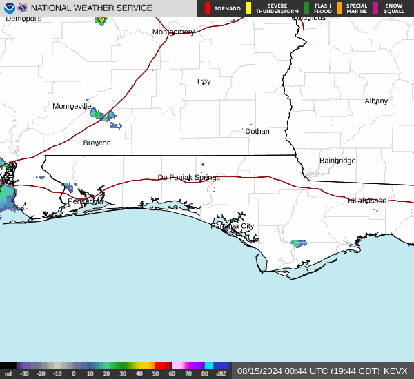
Current Radar Image
Sun Almanac for Boykin, Alabama
Sunrise: 05:58 AM
Sunset: 7:30 PM
Civil Sunrise:05:32 AM
Civil Sunset: 7:56 PM
Nautical Sunrise: 05:01 AM
Nautical Sunset: 8:28 PM
Astro Sunrise: 04:28 AM
Astro Sunset: 9:00 PM
Alabama's Current Temperatures
 Alabama's Satellite Image
 Alabama's Current Wind Direction
| National Summary |
of upper and lower values of current conditions amongst 6135 locations
in the contiguous United States |
|
High
Temp |
95° |
Terrel County Arpt, Texas
and 3 other locations
|
|
Low
Temp |
30° |
Granby/Grand Co, Colorado
and 1 other location
|
|
Wind
Speed |
60mph |
Salida Mountain, Colorado
|
|
Wind
Gust |
79mph |
Salida Mountain, Colorado
|
|
Wind
Chill |
18° |
Wilkerson Pass, Colorado
|
|
Heat
Index |
99° |
Faith Ranch A/P, Texas
|
|
High
Pressure |
30.18Hg |
Crescent City, California
|
|
Low
Pressure |
29.02Hg |
Ellsworth AFB, South Dakota
|
|
| # Locations Reporting Snow |
8 |
|
| # Locations Reporting Rain |
120 |
|
| # Locations Reporting Thunderstorms / Lightning |
31 |
|
| # Locations Reporting Fog |
3 |
|
| Average Temperature in the Contiguous USA |
68° |
|
Any use of the information on this page is at your own risk. This information should not be relied upon in life-threatening situations, potential financial loss situations or in lieu of any officially disseminated information. Visit the
National Weather Service for official information.