No Watches or Warnings for Ashton
Issued: 10:15 pm CST Dec 16, 2025 Latitude: 33.312895 Longitude: -91.3392824 View on Google Maps
|
|
|
|
|
|
|
|
|
|
 |
 |
 |
 |
|
 |
|
|
| Low: °F |
High: °F |
High: °F |
High: °F |
High: °F |
High: °F |
High: °F |
High: °F |
| Low: °F |
Low: °F |
Low: °F |
Low: °F |
Low: °F |
Low: °F |
|
| Rain |
Rain |
Thunderstorms |
Sunny |
Sunny |
Partly Sunny |
Partly Sunny |
Partly Sunny |
Current Conditions at
GREENVILLE - (KGLH)
43°
Clear
as of 9:53 PM CST
Rel. Humidity: 65%
Dew Point: 32°F
Visibility: 10 Miles
Pressure: 30.15 in.
Flight Rule: VFR
Cloud Level(s): Clear
Current Conditions at
MONTICELLO - (KLLQ)
46°
Clear
as of 9:53 PM CST
Rel. Humidity: 45%
Dew Point: 27°F
Visibility: 10 Miles
Pressure: 30.14 in.
Flight Rule: VFR
Cloud Level(s): Clear
Current Conditions at
PINE BLUFF - (KPBF)
Clear
as of 9:53 PM CST
Rel. Humidity: 45%
Dew Point: 28°F
Visibility: 10 Miles
Pressure: 30.11 in.
Flight Rule: VFR
Cloud Level(s): Clear
Current Conditions at
MONROE - (KMLU)
45°
Partly Cloudy
as of 10:06 PM CST
Rel. Humidity: 75%
Dew Point: 37°F
Visibility: 10 Miles
Pressure: 30.17 in.
Flight Rule: VFR
Cloud Level(s): Scattered at 3000ft
|
Tonight... A 40 percent chance of showers, mainly after 2am. Cloudy, with a low around 41. South wind around 5 mph. |
|
|
Wednesday... A 30 percent chance of showers, mainly before 1pm. Cloudy, with a high near 59. Calm wind becoming south southeast around 5 mph in the morning. |
|
 |
Wednesday Night... A 20 percent chance of showers after midnight. Mostly cloudy, with a low around 51. South wind 5 to 10 mph, with gusts as high as 20 mph. |
|
|
Thursday... Showers likely, then showers and possibly a thunderstorm after 9am. High near 67. South wind 10 to 15 mph becoming west in the afternoon. Winds could gust as high as 25 mph. Chance of precipitation is 80%. New rainfall amounts between a tenth and quarter of an inch, except higher amounts possible in thunderstorms. |
|
 |
Thursday Night... Mostly clear, with a low around 34. Northwest wind 5 to 10 mph, with gusts as high as 20 mph. |
|
|
Friday... Sunny, with a high near 52. North northwest wind around 5 mph becoming east southeast in the afternoon. |
|
|
Friday Night... Mostly clear, with a low around 37. South wind 5 to 10 mph, with gusts as high as 20 mph. |
|
|
Saturday... Sunny, with a high near 67. South wind 10 to 15 mph, with gusts as high as 25 mph. |
|
 |
Saturday Night... Partly cloudy, with a low around 52. South wind around 10 mph, with gusts as high as 20 mph. |
|
|
Sunday... Partly sunny, with a high near 67. |
|
 |
Sunday Night... Mostly cloudy, with a low around 52. |
|
|
Monday... Partly sunny, with a high near 70. |
|
|
Monday Night... Mostly cloudy, with a low around 53. |
|
|
Tuesday... Partly sunny, with a high near 71. |
|
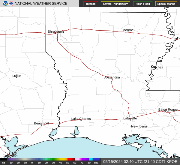
Current Radar Image
Sun Almanac for Ashton, Arkansas
Sunrise: 07:03 AM
Sunset: 5:00 PM
Civil Sunrise:06:35 AM
Civil Sunset: 5:27 PM
Nautical Sunrise: 06:04 AM
Nautical Sunset: 5:58 PM
Astro Sunrise: 05:34 AM
Astro Sunset: 6:29 PM
Arkansas' Current Temperatures
 Arkansas' Satellite Image
 Arkansas' Current Wind Direction
| National Summary |
of upper and lower values of current conditions amongst 6897 locations
in the contiguous United States |
|
High
Temp |
75° |
Keathley C 875, Louisiana
|
|
Low
Temp |
10° |
Whitefield, New Hampshire
and 2 other locations
|
|
Wind
Speed |
40mph |
Boysen/Thermopol, Wyoming
|
|
Wind
Gust |
49mph |
Hoquiam, Washington
|
|
Wind
Chill |
-10° |
Flag Island, Minnesota
|
|
High
Pressure |
30.46Hg |
Salida Mountain, Colorado
|
|
Low
Pressure |
29.28Hg |
Copper Harbor, Michigan
|
|
| # Locations Reporting Snow |
3 |
|
| # Locations Reporting Rain |
65 |
|
| # Locations Reporting Thunderstorms / Lightning |
1 |
|
| # Locations Reporting Fog |
10 |
|
| Average Temperature in the Contiguous USA |
40° |
|
Any use of the information on this page is at your own risk. This information should not be relied upon in life-threatening situations, potential financial loss situations or in lieu of any officially disseminated information. Visit the
National Weather Service for official information.