Arlington Park, Pennsylvania Weather
Current Conditions at
YORK - (KTHV)
30°
Clear
as of 9:53 PM EDST
Rel. Humidity: 86%
Dew Point: 27°F
Visibility: 10 Miles
Pressure: 30.33 in.
Flight Rule: VFR
Cloud Level(s): Clear
Current Conditions at
COLLEGE PARK ARPT - (KCGS)
43°
Clear
as of 10:35 PM EDST
Rel. Humidity: 41%
Dew Point: 21°F
Visibility: 10 Miles
Pressure: 30.36 in.
Flight Rule: VFR
Cloud Level(s): Clear
Current Conditions at
MIDDLETWN/HARRISB - (KMDT)
43°
Mostly Clear
as of 9:56 PM EDST
Rel. Humidity: 38%
Dew Point: 19°F
Visibility: 10 Miles
Pressure: 30.32 in.
Flight Rule: VFR
Cloud Level(s): Few at 7000ft
Current Conditions at
HARRISBURG - (KCXY)
37°
Clear
as of 9:56 PM EDST
Rel. Humidity: 51%
Dew Point: 21°F
Visibility: 10 Miles
Pressure: 30.33 in.
Flight Rule: VFR
Cloud Level(s): Clear
Moon Almanac for Arlington Park, Pennsylvania
Moon Phase: Waxing Crescent
Moon Illumination: 18%
Moon Age: 4.13 Days
Moon is currently above the horizon
Distance from Moon to Earth: 225,835 miles
Upcoming Lunar Events for
Arlington Park: |
| Next Event | Event Time | Illum |
|
|
|
| Moonset: | 12:20 am Tue | 18.7% |
| Moonrise: | 09:12 am Tue | 22.2% |
| High Moon: | 05:19 pm Tue | 25.6% |
| Moonset: | 01:22 am Wed | 29.1% |
 | New Moon: Fri Apr 17 |
 | First Quarter: Thu Apr 23 |
 | Full Moon: Fri May 1 |
 | Last Quarter: Sat May 9 |
| New Moon: Sat May 16 |
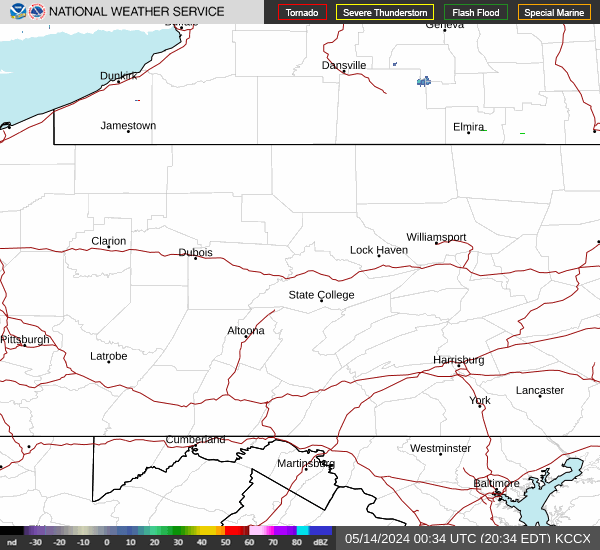
Current Radar Image
| Pennsylvania State Summary |
of upper and lower values of current conditions amongst 43 locations
in Pennsylvania |
|
High
Temp |
45° |
Philadelphia
|
|
Low
Temp |
28° |
Wellsboro/Grand
and 1 other location
|
|
Wind
Speed |
14mph |
Philadelphia
|
|
|
|
High
Pressure |
30.35Hg |
Lehighton
and 2 other locations
|
|
Low
Pressure |
30.25Hg |
Pocono Mnts Municipalcipal Airport
|
|
| Average temperature in Pennsylvania |
35° |
|
# Locations Reporting VFR
(Visual Flight Rules) |
43 |
|
Pennsylvania's Current Temperatures
 Pennsylvania's Satellite Image
 Pennsylvania's Current Wind Direction
| National Summary |
of upper and lower values of current conditions amongst 6925 locations
in the contiguous United States |
|
High
Temp |
91° |
Phoenix, Arizona
|
|
Low
Temp |
18° |
Clayton Lake, Maine
|
|
Wind
Speed |
28mph |
Elkhart, Kansas
|
|
Wind
Gust |
36mph |
Eureka, Nevada
|
|
Wind
Chill |
21° |
Chippewa Intl Arpt, Michigan
|
|
High
Pressure |
30.50Hg |
Salida Mountain, Colorado
|
|
Low
Pressure |
29.66Hg |
Yagabond Aaf, Washington
|
|
| # Locations Reporting Rain |
54 |
|
| # Locations Reporting Thunderstorms / Lightning |
5 |
|
| Average Temperature in the Contiguous USA |
56° |
|
Any use of the information on this page is at your own risk. This information should not be relied upon in life-threatening situations, potential financial loss situations or in lieu of any officially disseminated information. Visit the
National Weather Service for official information.