Ardenvoir, Washington Weather
No Watches or Warnings for Ardenvoir
Issued: 7:12 pm PST Dec 17, 2025 Latitude: 47.7373499 Longitude: -120.3689741 View on Google Maps
|
|
|
|
|
|
|
|
|
|
 |
 |
 |
|
 |
|
 |
|
| Low: °F |
High: °F |
High: °F |
High: °F |
High: °F |
High: °F |
High: °F |
High: °F |
| Low: °F |
Low: °F |
Low: °F |
Low: °F |
Low: °F |
Low: °F |
|
| Rain & Snow |
Rain & Snow |
Rain & Snow |
Rain & Snow |
Rain & Snow |
Rain & Snow |
Rain & Snow |
Rain & Snow |
Current Conditions at
WENATCHEE - (KEAT)
Clear
as of 6:55 PM PST
Rel. Humidity: 52%
Dew Point: 27°F
Visibility: 10 Miles
Pressure: 30.00 in.
Flight Rule: VFR
Wind Data
15 MPH
320° Northwest
Cloud Level(s): Clear
Current Conditions at
EPHRATA - (KEPH)
37°
Clear
as of 6:53 PM PST
Rel. Humidity: 60%
Dew Point: 25°F
Visibility: 10 Miles
Pressure: 30.04 in.
Flight Rule: VFR
Cloud Level(s): Clear
Current Conditions at
ELLENSBURG - (KELN)
Clear
as of 6:53 PM PST
Rel. Humidity: 69%
Dew Point: 28°F
Visibility: 10 Miles
Pressure: 30.03 in.
Flight Rule: VFR
Wind Data
21 MPH
310° Northwest
Cloud Level(s): Clear
Current Conditions at
STAMPEDE PASS - (KSMP)
28°
Clear
Mist
as of 7:20 PM PST
Rel. Humidity: 100%
Dew Point: 28°F
Visibility: 3/4 Miles
Pressure: 30.03 in.
Flight Rule: MVFR
|
Tonight... Rain and snow likely, mainly after 4am. Snow level 2300 feet lowering to 1700 feet. Mostly cloudy, with a low around 33. West wind 5 to 7 mph becoming light and variable after midnight. Chance of precipitation is 60%. Total nighttime snow accumulation of less than a half inch possible. |
|
|
Thursday... Rain, possibly mixed with snow, becoming all rain after 5pm. Snow level 2200 feet. Steady temperature around 33. East wind 5 to 7 mph becoming north in the afternoon. Chance of precipitation is 100%. New snow accumulation of less than one inch possible. |
|
 |
Thursday Night... Rain before 10pm, then a chance of rain and snow. Snow level 3600 feet lowering to 1700 feet after midnight . Low around 28. West wind around 10 mph. Chance of precipitation is 90%. Little or no snow accumulation expected. |
|
|
Friday... A chance of snow before 1pm, then a chance of rain and snow. Partly sunny, with a high near 37. West wind around 7 mph. Chance of precipitation is 50%. New snow accumulation of less than a half inch possible. |
|
 |
Friday Night... A chance of rain and snow before 7pm, then a chance of snow. Mostly cloudy, with a low around 28. West wind around 5 mph. Chance of precipitation is 50%. New snow accumulation of less than a half inch possible. |
|
|
Saturday... A chance of snow before 10am, then rain and snow likely between 10am and 1pm, then rain likely after 1pm. Snow level rising to 2100 feet in the afternoon. Mostly cloudy, with a high near 38. Chance of precipitation is 60%. New snow accumulation of less than a half inch possible. |
|
|
Saturday Night... A chance of rain before 7pm, then a chance of rain and snow. Snow level 1900 feet. Mostly cloudy, with a low around 27. Chance of precipitation is 50%. New snow accumulation of less than a half inch possible. |
|
|
Sunday... Rain likely, possibly mixed with snow, becoming all rain after 4pm. Snow level 1800 feet rising to 2400 feet in the afternoon. Mostly cloudy, with a high near 36. Chance of precipitation is 70%. |
|
|
Sunday Night... Rain likely before 7pm, then rain likely, possibly mixed with snow. Snow level 2100 feet. Mostly cloudy, with a low around 26. Chance of precipitation is 70%. |
|
|
Monday... Rain likely, possibly mixed with snow, becoming all rain after 4pm. Snow level 1600 feet rising to 2200 feet in the afternoon. Mostly cloudy, with a high near 38. Chance of precipitation is 60%. |
|
|
Monday Night... A chance of rain and snow. Snow level 1700 feet. Mostly cloudy, with a low around 25. Chance of precipitation is 50%. |
|
|
Tuesday... A chance of rain and snow. Snow level 1400 feet. Partly sunny, with a high near 37. Chance of precipitation is 30%. |
|
|
Tuesday Night... A chance of rain and snow. Mostly cloudy, with a low around 26. Chance of precipitation is 30%. |
|
|
Wednesday... A chance of rain and snow. Partly sunny, with a high near 38. Chance of precipitation is 30%. |
|
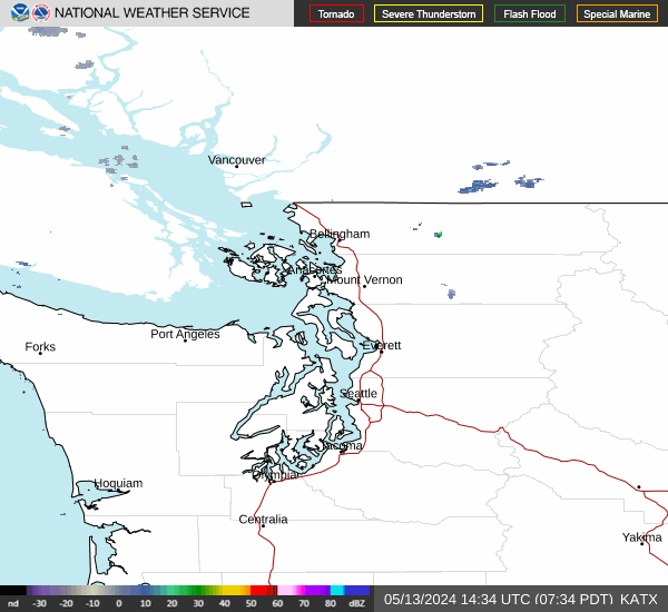
Current Radar Image
Sun Almanac for Ardenvoir, Washington
Sunrise: 07:45 AM
Sunset: 4:10 PM
Civil Sunrise:07:09 AM
Civil Sunset: 4:46 PM
Nautical Sunrise: 06:30 AM
Nautical Sunset: 5:26 PM
Astro Sunrise: 05:52 AM
Astro Sunset: 6:04 PM
Washington's Current Temperatures
 Washington's Satellite Image
 Washington's Current Wind Direction
| National Summary |
of upper and lower values of current conditions amongst 6346 locations
in the contiguous United States |
|
High
Temp |
77° |
Keathley C 875, Louisiana
|
|
Low
Temp |
10° |
Cutbank, Montana
and 2 other locations
|
|
Wind
Speed |
58mph |
Salida Mountain, Colorado
|
|
Wind
Gust |
71mph |
Glasgow, Montana
and 2 other locations
|
|
Wind
Chill |
-14° |
Malta, Montana
|
|
High
Pressure |
30.24Hg |
Mecklenburg-Brunswic, Virginia
and 1 other location
|
|
Low
Pressure |
28.99Hg |
Grand Forks AFB, North Dakota
|
|
| # Locations Reporting Snow |
20 |
|
| # Locations Reporting Rain |
53 |
|
| # Locations Reporting Fog |
15 |
|
| Average Temperature in the Contiguous USA |
45° |
|
Any use of the information on this page is at your own risk. This information should not be relied upon in life-threatening situations, potential financial loss situations or in lieu of any officially disseminated information. Visit the
National Weather Service for official information.