Anstine, Pennsylvania Weather
Current Conditions at
YORK - (KTHV)
50°
Mostly Cloudy
as of 7:53 AM EDST
Rel. Humidity: 66%
Dew Point: 39°F
Visibility: 10 Miles
Pressure: 30.04 in.
Flight Rule: VFR
Cloud Level(s): Scattered at 9000ft, Broken at 11000ft
Current Conditions at
COLLEGE PARK ARPT - (KCGS)
55°
Clear
as of 8:15 AM EDST
Rel. Humidity: 54%
Dew Point: 39°F
Visibility: 10 Miles
Pressure: 30.06 in.
Flight Rule: VFR
Cloud Level(s): Clear
Current Conditions at
GLENN MARTIN ARPT - (KMTN)
55°
Clear
as of 7:50 AM EDST
Rel. Humidity: 54%
Dew Point: 39°F
Visibility: 10 Miles
Pressure: 30.08 in.
Flight Rule: VFR
Cloud Level(s): Clear
Current Conditions at
LANCASTER - (KLNS)
46°
Cloudy
as of 7:53 AM EDST
Rel. Humidity: 81%
Dew Point: 41°F
Visibility: 10 Miles
Pressure: 30.06 in.
Flight Rule: VFR
Cloud Level(s): Solid Overcast at 10000ft
Moon Almanac for Anstine, Pennsylvania
Moon Phase: Waxing Crescent
Moon Illumination: 32%
Moon Age: 5.69 Days
Moon is currently below the horizon
Distance from Moon to Earth: 227,055 miles
Upcoming Lunar Events for
Anstine: |
| Next Event | Event Time | Illum |
|
|
|
| Moonrise: | 10:22 am Wed | 33.2% |
| High Moon: | 06:21 pm Wed | 36.9% |
| Moonset: | 02:11 am Thu | 40.5% |
 | New Moon: Fri Apr 17 |
 | First Quarter: Thu Apr 23 |
 | Full Moon: Fri May 1 |
 | Last Quarter: Sat May 9 |
| New Moon: Sat May 16 |
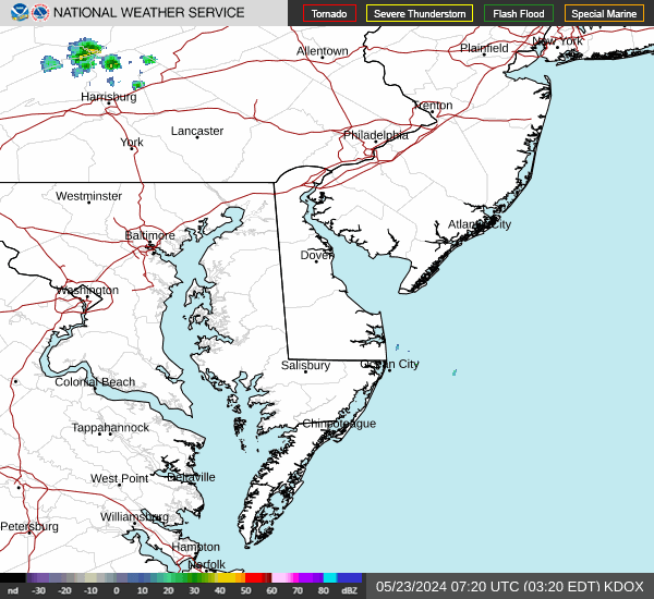
Current Radar Image
| Pennsylvania State Summary |
of upper and lower values of current conditions amongst 41 locations
in Pennsylvania |
|
High
Temp |
59° |
Beaver Falls
and 1 other location
|
|
Low
Temp |
37° |
Pocono Mnts Municipalcipal Airport
|
|
|
|
Wind
Chill |
29° |
Pocono Mnts Municipalcipal Airport
|
|
High
Pressure |
30.13Hg |
N Philadelphia
|
|
|
|
| Average temperature in Pennsylvania |
49° |
|
| # Locations Reporting Rain |
7 |
|
# Locations Reporting MVFR
(Marginal Visual Flight Rules) |
1 |
|
# Locations Reporting VFR
(Visual Flight Rules) |
40 |
|
Pennsylvania's Current Temperatures
 Pennsylvania's Satellite Image
 Pennsylvania's Current Wind Direction
| National Summary |
of upper and lower values of current conditions amongst 7226 locations
in the contiguous United States |
|
High
Temp |
77° |
Viosca Knoll768, Alabama
and 1 other location
|
|
Low
Temp |
27° |
Mammoth Lakes, California
|
|
Wind
Speed |
35mph |
Salida Mountain, Colorado
|
|
Wind
Gust |
44mph |
Jefferson/Ashe County, North Carolina
|
|
Wind
Chill |
15° |
South Lake Tahoe, California
|
|
High
Pressure |
30.69Hg |
Winfield, Kansas
|
|
Low
Pressure |
29.41Hg |
India, Montana
|
|
| # Locations Reporting Snow |
1 |
|
| # Locations Reporting Rain |
105 |
|
| # Locations Reporting Thunderstorms / Lightning |
4 |
|
| # Locations Reporting Fog |
23 |
|
| Average Temperature in the Contiguous USA |
53° |
|
Any use of the information on this page is at your own risk. This information should not be relied upon in life-threatening situations, potential financial loss situations or in lieu of any officially disseminated information. Visit the
National Weather Service for official information.