Adrian Mines, Pennsylvania Weather
Current Conditions at
DUBOIS - (KDUJ)
45°
Clear
as of 12:53 AM EDST
Rel. Humidity: 81%
Dew Point: 39°F
Visibility: 10 Miles
Pressure: 30.19 in.
Flight Rule: VFR
Cloud Level(s): Clear
Current Conditions at
STEWART FIELD - (KIDI)
41°
Clear
as of 1:15 AM EDST
Rel. Humidity: 93%
Dew Point: 39°F
Visibility: 10 Miles
Pressure: 30.19 in.
Flight Rule: VFR
Cloud Level(s): Clear
Current Conditions at
CLEARFIELD - (KFIG)
39°
Clear
as of 12:54 AM EDST
Rel. Humidity: 93%
Dew Point: 37°F
Visibility: 10 Miles
Pressure: 30.20 in.
Flight Rule: VFR
Cloud Level(s): Clear
Current Conditions at
JOHNSTOWN - (KJST)
43°
Clear
as of 12:54 AM EDST
Rel. Humidity: 81%
Dew Point: 37°F
Visibility: 10 Miles
Pressure: 30.17 in.
Flight Rule: VFR
Cloud Level(s): Clear
Moon Almanac for Adrian Mines, Pennsylvania
Moon Phase: Waxing Gibbous
Moon Illumination: 81%
Moon Age: 10.5 Days
Moon is currently above the horizon
Distance from Moon to Earth: 238,489 miles
Upcoming Lunar Events for
Adrian Mines: |
| Next Event | Event Time | Illum |
|
|
|
| Moonset: | 04:20 am Mon | 82.0% |
| Moonrise: | 04:22 pm Mon | 85.8% |
| High Moon: | 10:36 pm Mon | 87.6% |
| Moonset: | 04:40 am Tue | 89.2% |
 | New Moon: Fri Apr 17 |
 | First Quarter: Thu Apr 23 |
 | Full Moon: Fri May 1 |
 | Last Quarter: Sat May 9 |
| New Moon: Sat May 16 |
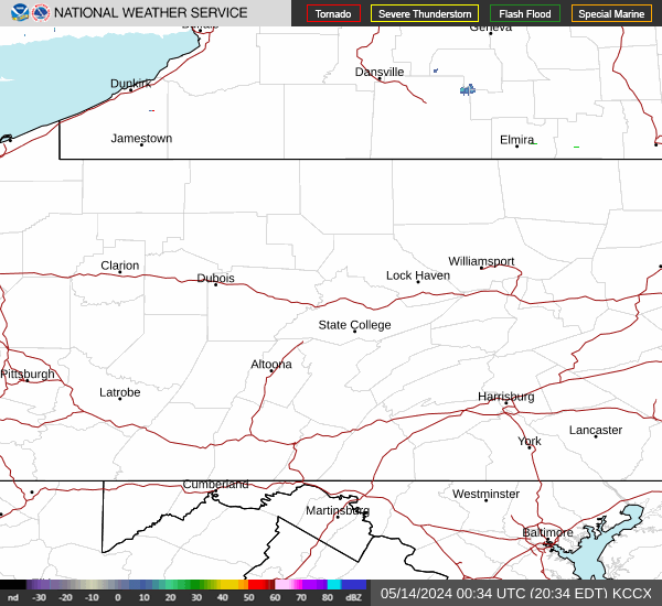
Current Radar Image
| Pennsylvania State Summary |
of upper and lower values of current conditions amongst 43 locations
in Pennsylvania |
|
High
Temp |
50° |
Beaver Falls
|
|
Low
Temp |
37° |
Lehighton
and 1 other location
|
|
Wind
Speed |
7mph |
Pittsburgh
|
|
High
Pressure |
30.22Hg |
N Philadelphia
and 2 other locations
|
|
Low
Pressure |
30.17Hg |
Johnstown
and 4 other locations
|
|
| Average temperature in Pennsylvania |
43° |
|
# Locations Reporting VFR
(Visual Flight Rules) |
43 |
|
Pennsylvania's Current Temperatures
 Pennsylvania's Satellite Image
 Pennsylvania's Current Wind Direction
| National Summary |
of upper and lower values of current conditions amongst 6975 locations
in the contiguous United States |
|
High
Temp |
86° |
Presidio, Texas
|
|
Low
Temp |
19° |
Berthoud Pass, Colorado
|
|
Wind
Speed |
30mph |
Moberly, Missouri
|
|
Wind
Gust |
41mph |
Clinton, Oklahoma
|
|
Wind
Chill |
2° |
Berthoud Pass, Colorado
|
|
High
Pressure |
30.26Hg |
Greater Cumberland Arpt, Maryland
|
|
Low
Pressure |
29.50Hg |
Guymon, Oklahoma
|
|
| # Locations Reporting Snow |
23 |
|
| # Locations Reporting Rain |
112 |
|
| # Locations Reporting Thunderstorms / Lightning |
9 |
|
| # Locations Reporting Fog |
8 |
|
| Average Temperature in the Contiguous USA |
55° |
|
Any use of the information on this page is at your own risk. This information should not be relied upon in life-threatening situations, potential financial loss situations or in lieu of any officially disseminated information. Visit the
National Weather Service for official information.