Chapel Hill, Alabama Weather
No Watches or Warnings for Chapel Hill
Issued: 12:01 pm CST Dec 16, 2025 Latitude: 31.693493 Longitude: -88.4403006 View on Google Maps
|
|
|
|
|
|
|
|
|
|
 |
 |
 |
 |
|
 |
 |
|
| Low: °F |
High: °F |
High: °F |
High: °F |
High: °F |
High: °F |
High: °F |
High: °F |
| Low: °F |
Low: °F |
Low: °F |
Low: °F |
Low: °F |
Low: °F |
|
| Mostly Cloudy |
Mostly Cloudy |
Thunderstorms |
Sunny |
Sunny |
Partly Sunny |
Mostly Sunny |
Mostly Sunny |
Current Conditions at
MERIDIAN KEY FIELD - (KMEI)
39°
Clear
as of 9:58 PM CST
Rel. Humidity: 80%
Dew Point: 34°F
Visibility: 10 Miles
Pressure: 30.20 in.
Flight Rule: VFR
Cloud Level(s): Clear
Current Conditions at
LAUREL-HATIESBURG - (KPIB)
43°
Clear
as of 9:56 PM CST
Rel. Humidity: 93%
Dew Point: 41°F
Visibility: 10 Miles
Pressure: 30.21 in.
Flight Rule: VFR
Cloud Level(s): Clear
Current Conditions at
HATTIESBURG - (KHBG)
43°
Clear
as of 9:53 PM CST
Rel. Humidity: 86%
Dew Point: 39°F
Visibility: 10 Miles
Pressure: 30.21 in.
Flight Rule: VFR
Cloud Level(s): Clear
Current Conditions at
MERIDIAN NAS - (KNMM)
39°
Cloudy
as of 9:56 PM CST
Rel. Humidity: 75%
Dew Point: 32°F
Visibility: 10 Miles
Pressure: 30.20 in.
Flight Rule: VFR
Cloud Level(s): Solid Overcast at 25000ft
|
Tonight... Mostly cloudy, with a low around 37. Calm wind. |
|
|
Wednesday... Mostly cloudy, with a high near 60. Calm wind becoming east around 5 mph. |
|
 |
Wednesday Night... A chance of showers, with thunderstorms also possible after 3am. Mostly cloudy, with a low around 48. Southeast wind around 5 mph. Chance of precipitation is 50%. New rainfall amounts of less than a tenth of an inch, except higher amounts possible in thunderstorms. |
|
|
Thursday... Showers and possibly a thunderstorm. High near 67. South wind 5 to 10 mph. Chance of precipitation is 80%. |
|
 |
Thursday Night... A chance of showers and thunderstorms before 9pm, then a chance of showers between 9pm and midnight. Partly cloudy, with a low around 41. South wind 5 to 10 mph becoming northwest after midnight. Winds could gust as high as 20 mph. Chance of precipitation is 50%. |
|
|
Friday... Sunny, with a high near 56. North wind around 5 mph. |
|
 |
Friday Night... Clear, with a low around 33. Calm wind becoming southeast around 5 mph after midnight. |
|
|
Saturday... Sunny, with a high near 67. South wind around 5 mph. |
|
 |
Saturday Night... Partly cloudy, with a low around 50. South wind around 5 mph. |
|
|
Sunday... Partly sunny, with a high near 72. |
|
|
Sunday Night... Partly cloudy, with a low around 52. |
|
|
Monday... Mostly sunny, with a high near 69. |
|
|
Monday Night... Partly cloudy, with a low around 50. |
|
|
Tuesday... Mostly sunny, with a high near 71. |
|
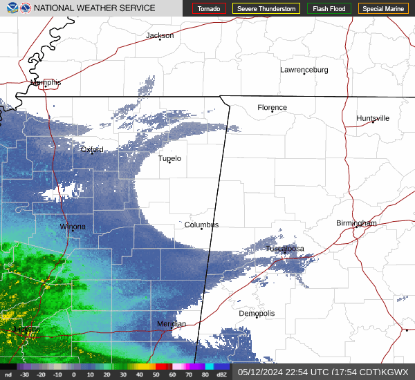
Current Radar Image
Sun Almanac for Chapel Hill, Alabama
Sunrise: 06:47 AM
Sunset: 4:52 PM
Civil Sunrise:06:20 AM
Civil Sunset: 5:19 PM
Nautical Sunrise: 05:50 AM
Nautical Sunset: 5:50 PM
Astro Sunrise: 05:20 AM
Astro Sunset: 6:19 PM
Alabama's Current Temperatures
 Alabama's Satellite Image
 Alabama's Current Wind Direction
| National Summary |
of upper and lower values of current conditions amongst 6897 locations
in the contiguous United States |
|
High
Temp |
75° |
Keathley C 875, Louisiana
|
|
Low
Temp |
10° |
Whitefield, New Hampshire
and 2 other locations
|
|
Wind
Speed |
40mph |
Boysen/Thermopol, Wyoming
|
|
Wind
Gust |
49mph |
Hoquiam, Washington
|
|
Wind
Chill |
-10° |
Flag Island, Minnesota
|
|
High
Pressure |
30.46Hg |
Salida Mountain, Colorado
|
|
Low
Pressure |
29.28Hg |
Copper Harbor, Michigan
|
|
| # Locations Reporting Snow |
3 |
|
| # Locations Reporting Rain |
65 |
|
| # Locations Reporting Thunderstorms / Lightning |
1 |
|
| # Locations Reporting Fog |
10 |
|
| Average Temperature in the Contiguous USA |
40° |
|
Any use of the information on this page is at your own risk. This information should not be relied upon in life-threatening situations, potential financial loss situations or in lieu of any officially disseminated information. Visit the
National Weather Service for official information.