Capulin, New Mexico Weather
Current Conditions at
RATON AIRPORT - (KRTN)
28°
Clear
as of 1:53 AM MST
Rel. Humidity: 33%
Dew Point: 3°F
Visibility: 10 Miles
Pressure: 29.74 in.
Flight Rule: VFR
Wind Data
5 MPH
030° Northeast
Cloud Level(s): Clear
Current Conditions at
TRINIDAD - (KTAD)
Clear
as of 1:54 AM MST
Rel. Humidity: 20%
Dew Point: 5°F
Visibility: 10 Miles
Pressure: 29.69 in.
Flight Rule: VFR
Cloud Level(s): Clear
Current Conditions at
CLAYTON - (KCAO)
Clear
as of 1:55 AM MST
Rel. Humidity: 19%
Dew Point: 7°F
Visibility: 10 Miles
Pressure: 29.68 in.
Flight Rule: VFR
Wind Data
14 MPH
230° Southwest
Cloud Level(s): Clear
Current Conditions at
SPRINGFIELD - (KSPD)
Cloudy
as of 1:56 AM MST
Rel. Humidity: 34%
Dew Point: 9°F
Pressure: 29.63 in.
Wind Data
9 MPH
230° Southwest
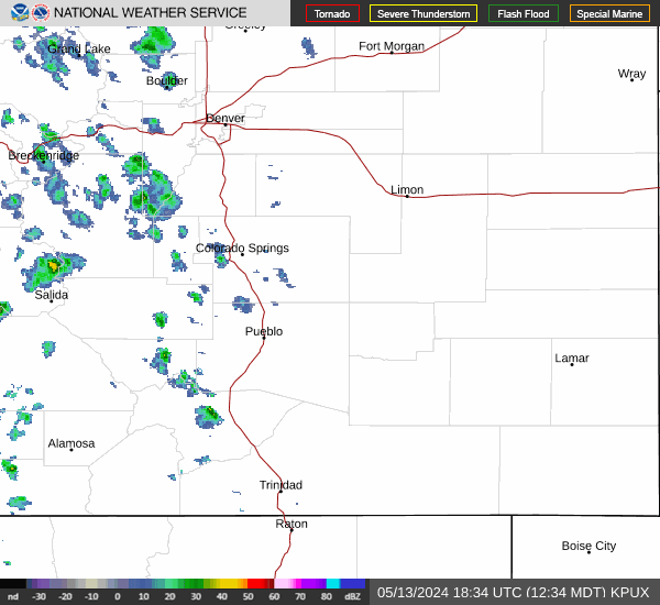
Current Radar Image
Sun Almanac for Capulin, New Mexico
Sunrise: 13:19 AM
Sunset: 00:55 PM
Civil Sunrise:12:53 AM
Civil Sunset: 01:21 PM
Nautical Sunrise: 12:23 AM
Nautical Sunset: 01:51 PM
Astro Sunrise: 11:53 AM
Astro Sunset: 02:21 PM
New Mexico's Current Temperatures
 New Mexico's Satellite Image
 New Mexico's Current Wind Direction
| National Summary |
of upper and lower values of current conditions amongst 6404 locations
in the contiguous United States |
|
High
Temp |
77° |
Homestead AFB, Florida
and 3 other locations
|
|
Low
Temp |
1° |
Frenchville, Maine
|
|
Wind
Speed |
36mph |
Ft Worth/Alliance, Texas
|
|
Wind
Gust |
47mph |
Wichita/Jabarra, Kansas
|
|
Wind
Chill |
-2° |
Minot, North Dakota
|
|
High
Pressure |
30.56Hg |
Presque Isle, Maine
and 1 other location
|
|
Low
Pressure |
29.46Hg |
Charlie, Montana
|
|
| # Locations Reporting Snow |
54 |
|
| # Locations Reporting Rain |
119 |
|
| # Locations Reporting Thunderstorms / Lightning |
8 |
|
| # Locations Reporting Fog |
172 |
|
| Average Temperature in the Contiguous USA |
50° |
|
Any use of the information on this page is at your own risk. This information should not be relied upon in life-threatening situations, potential financial loss situations or in lieu of any officially disseminated information. Visit the
National Weather Service for official information.