Fox Hill, Pennsylvania Weather
Current Conditions at
WELLSVILLE MUNI - (KELZ)
39°
Cloudy
Light Rain Mist
as of 6:34 AM EST
Rel. Humidity: 100%
Dew Point: 39°F
Visibility: 1 3/4 Miles
Pressure: 30.11 in.
Flight Rule: LIFR
Wind Data
5 MPH
140° Southeast
Cloud Level(s): Solid Overcast at 200ft
Current Conditions at
BRADFORD - (KBFD)
39°
Cloudy
Light Rain Mist
as of 6:28 AM EST
Rel. Humidity: 100%
Dew Point: 39°F
Visibility: 4 Miles
Pressure: 30.08 in.
Flight Rule: IFR
Wind Data
5 MPH
130° Southeast
Cloud Level(s): Solid Overcast at 900ft
Current Conditions at
DANSVILLE - (KDSV)
39°
Cloudy
as of 5:54 AM EST
Rel. Humidity: 86%
Dew Point: 36°F
Visibility: 10 Miles
Pressure: 30.14 in.
Flight Rule: VFR
Cloud Level(s): Solid Overcast at 3700ft
Current Conditions at
ELMIRA - (KELM)
36°
Cloudy
Light Rain Mist
as of 6:35 AM EST
Rel. Humidity: 93%
Dew Point: 34°F
Visibility: 5 Miles
Pressure: 30.15 in.
Flight Rule: MVFR
Cloud Level(s): Scattered at 700ft, Solid Overcast at 1500ft
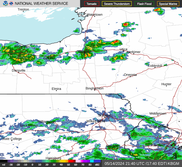
Current Radar Image
Sun Almanac for Fox Hill, Pennsylvania
Sunrise: 11:39 AM
Sunset: 11:06 PM
Civil Sunrise:11:11 AM
Civil Sunset: 11:34 PM
Nautical Sunrise: 10:39 AM
Nautical Sunset: 00:06 PM
Astro Sunrise: 10:07 AM
Astro Sunset: 00:38 PM
Pennsylvania's Current Temperatures
 Pennsylvania's Satellite Image
 Pennsylvania's Current Wind Direction
| National Summary |
of upper and lower values of current conditions amongst 6392 locations
in the contiguous United States |
|
High
Temp |
75° |
Homestead AFB, Florida
and 11 other locations
|
|
Low
Temp |
-36° |
Jesup-Wayne Cty A/P, Georgia
|
|
Wind
Speed |
38mph |
Mojave, California
|
|
Wind
Gust |
47mph |
Tonopah, Nevada
and 1 other location
|
|
Wind
Chill |
-16° |
Frenchville, Maine
|
|
High
Pressure |
30.47Hg |
Presque Isle, Maine
|
|
Low
Pressure |
29.28Hg |
Charlie, Montana
|
|
| # Locations Reporting Snow |
28 |
|
| # Locations Reporting Rain |
128 |
|
| # Locations Reporting Thunderstorms / Lightning |
3 |
|
| # Locations Reporting Fog |
238 |
|
| Average Temperature in the Contiguous USA |
46° |
|
Any use of the information on this page is at your own risk. This information should not be relied upon in life-threatening situations, potential financial loss situations or in lieu of any officially disseminated information. Visit the
National Weather Service for official information.