Pine Ridge Estates, Alabama Weather
No Watches or Warnings for Pine Ridge Estates
Issued: 1:02 am CST Dec 18, 2025 Latitude: 31.8151571 Longitude: -85.9332834 View on Google Maps
|
|
|
|
|
|
|
|
|
|
 |
 |
 |
|
 |
|
|
|
| Low: °F |
High: °F |
High: °F |
High: °F |
High: °F |
High: °F |
High: °F |
High: °F |
| Low: °F |
Low: °F |
Low: °F |
Low: °F |
Low: °F |
Low: °F |
|
| Rain |
Thunderstorms |
Sunny |
Sunny |
Mostly Sunny |
Sunny |
Mostly Sunny |
Mostly Sunny |
Current Conditions at
TROY - (KTOI)
57°
Mostly Clear
as of 1:53 AM CST
Rel. Humidity: 82%
Dew Point: 52°F
Visibility: 10 Miles
Pressure: 30.03 in.
Flight Rule: VFR
Wind Data
6 MPH
130° Southeast
Cloud Level(s): Few at 10000ft
Current Conditions at
FT RUCKER - (KOZR)
59°
Cloudy
as of 1:55 AM CST
Rel. Humidity: 77%
Dew Point: 52°F
Visibility: 10 Miles
Pressure: 30.00 in.
Flight Rule: VFR
Cloud Level(s): Few at 12000ft, Broken at 14000ft, Solid Overcast at 19000ft
Current Conditions at
MONTGOMERY - (KMGM)
54°
Cloudy
Light Rain
as of 1:53 AM CST
Rel. Humidity: 81%
Dew Point: 48°F
Visibility: 10 Miles
Pressure: 30.03 in.
Flight Rule: VFR
Cloud Level(s): Broken at 10000ft, Solid Overcast at 11000ft
Current Conditions at
ANDALUSIA - (K79J)
55°
Mostly Cloudy
as of 1:56 AM CST
Rel. Humidity: 87%
Dew Point: 52°F
Visibility: 10 Miles
Pressure: 30.00 in.
Flight Rule: VFR
Cloud Level(s): Broken at 11000ft
|
Overnight... A 40 percent chance of rain, mainly after 3am. Cloudy, with a low around 53. Southeast wind around 5 mph. |
|
|
Thursday... Rain, mainly before 3pm, then a chance of showers and thunderstorms after 3pm. High near 64. Southeast wind 5 to 10 mph, with gusts as high as 20 mph. Chance of precipitation is 100%. New rainfall amounts between a quarter and half of an inch possible. |
|
 |
Thursday Night... Showers and thunderstorms likely before midnight, then a slight chance of rain between midnight and 3am. Cloudy during the early evening, then gradual clearing, with a low around 44. South wind 5 to 10 mph becoming northwest after midnight. Winds could gust as high as 25 mph. Chance of precipitation is 60%. New precipitation amounts of less than a tenth of an inch, except higher amounts possible in thunderstorms. |
|
|
Friday... Sunny, with a high near 56. Northwest wind 5 to 10 mph, with gusts as high as 20 mph. |
|
 |
Friday Night... Clear, with a low around 33. Calm wind. |
|
|
Saturday... Sunny, with a high near 62. |
|
 |
Saturday Night... Mostly clear, with a low around 44. |
|
|
Sunday... Mostly sunny, with a high near 67. |
|
 |
Sunday Night... Partly cloudy, with a low around 43. |
|
|
Monday... Sunny, with a high near 61. |
|
|
Monday Night... Mostly clear, with a low around 42. |
|
|
Tuesday... Mostly sunny, with a high near 67. |
|
|
Tuesday Night... Mostly clear, with a low around 46. |
|
|
Wednesday... Mostly sunny, with a high near 71. |
|
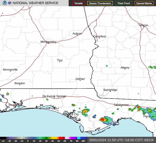
Current Radar Image
Sun Almanac for Pine Ridge Estates, Alabama
Sunrise: 06:38 AM
Sunset: 4:43 PM
Civil Sunrise:06:11 AM
Civil Sunset: 5:10 PM
Nautical Sunrise: 05:41 AM
Nautical Sunset: 5:40 PM
Astro Sunrise: 05:11 AM
Astro Sunset: 6:10 PM
Alabama's Current Temperatures
 Alabama's Satellite Image
 Alabama's Current Wind Direction
| National Summary |
of upper and lower values of current conditions amongst 6440 locations
in the contiguous United States |
|
High
Temp |
77° |
Keathley C 875, Louisiana
|
|
Low
Temp |
1° |
Scobey, Montana
|
|
Wind
Speed |
54mph |
Buffalo, South Dakota
and 1 other location
|
|
Wind
Gust |
73mph |
Dakota Hill, Colorado
|
|
Wind
Chill |
-28° |
Scobey, Montana
|
|
High
Pressure |
30.27Hg |
Lehighton, Pennsylvania
and 1 other location
|
|
Low
Pressure |
29.00Hg |
Fosston, Minnesota
|
|
| # Locations Reporting Snow |
35 |
|
| # Locations Reporting Rain |
49 |
|
| # Locations Reporting Thunderstorms / Lightning |
1 |
|
| # Locations Reporting Fog |
35 |
|
| Average Temperature in the Contiguous USA |
43° |
|
Any use of the information on this page is at your own risk. This information should not be relied upon in life-threatening situations, potential financial loss situations or in lieu of any officially disseminated information. Visit the
National Weather Service for official information.