Woodland, Pennsylvania Weather
Issued: 10:26 am EST Jan 23, 2026 Latitude: 40.6945124 Longitude: -77.6249955 View on Google Maps
|
|
|
|
|
|
|
|
|
|
 |
 |
 |
 |
 |
 |
|
|
| High: °F |
Low: °F |
High: °F |
High: °F |
High: °F |
High: °F |
High: °F |
High: °F |
| Low: °F |
Low: °F |
Low: °F |
Low: °F |
Low: °F |
|
| Sunny |
Mostly Clear |
Partly Sunny |
Snow |
Snow |
Mostly Sunny |
Partly Sunny |
Partly Sunny |
Current Conditions at
UNIVERSITY PARK - (KUNV)
Clear
as of 9:53 AM EST
Rel. Humidity: 35%
Dew Point: 3°F
Visibility: 10 Miles
Pressure: 30.15 in.
Flight Rule: VFR
Wind Data
18 MPH
Gust: 25 MPH
270° West
Cloud Level(s): Clear
Current Conditions at
SELINSGROVE - (KSEG)
Clear
as of 9:53 AM EST
Rel. Humidity: 30%
Dew Point: 3°F
Visibility: 10 Miles
Pressure: 30.19 in.
Flight Rule: VFR
Wind Data
12 MPH
Gust: 20 MPH
290° West
Cloud Level(s): Clear
Current Conditions at
ALTOONA - (KAOO)
Clear
as of 9:53 AM EST
Rel. Humidity: 45%
Dew Point: 7°F
Visibility: 10 Miles
Pressure: 30.14 in.
Flight Rule: VFR
Wind Data
22 MPH
Gust: 30 MPH
280° West
Cloud Level(s): Clear
Current Conditions at
CLEARFIELD - (KFIG)
Clear
as of 9:54 AM EST
Rel. Humidity: 37%
Dew Point: -2°F
Visibility: 10 Miles
Pressure: 30.13 in.
Flight Rule: VFR
Wind Data
18 MPH
Gust: 35 MPH
260° West
Cloud Level(s): Clear
|
Today... Sunny, with a temperature falling to around 16 by 5pm. West wind 10 to 14 mph, with gusts as high as 28 mph. |
|
|
Tonight... Mostly clear, with a low around 1. Wind chill values as low as -10. Northwest wind 5 to 9 mph, with gusts as high as 25 mph. |
|
|
Saturday... Partly sunny, with a high near 16. Wind chill values as low as -5. Light and variable wind. |
|
 |
Saturday Night... Snow, mainly after 1am. The snow could be heavy at times. Low around 9. Light east wind. Chance of precipitation is 90%. New snow accumulation of 2 to 4 inches possible. |
|
|
Sunday... Snow. The snow could be heavy at times. High near 18. East wind 3 to 5 mph. Chance of precipitation is 100%. New snow accumulation of 6 to 10 inches possible. |
|
|
Sunday Night... Snow. Low around 14. Chance of precipitation is 90%. New snow accumulation of 3 to 7 inches possible. |
|
|
Monday... A chance of snow before 1pm. Mostly cloudy, with a high near 23. Chance of precipitation is 40%. |
|
 |
Monday Night... Partly cloudy, with a low around 0. |
|
|
Tuesday... Mostly sunny, with a high near 19. |
|
 |
Tuesday Night... Mostly cloudy, with a low around 5. |
|
|
Wednesday... Partly sunny, with a high near 22. |
|
|
Wednesday Night... Mostly cloudy, with a low around 1. |
|
|
Thursday... Partly sunny, with a high near 18. |
|
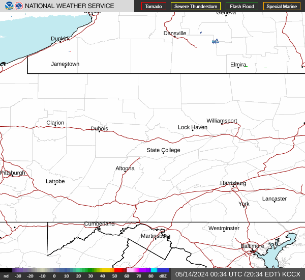
Current Radar Image
Sun Almanac for Woodland, Pennsylvania
Sunrise: 07:28 AM
Sunset: 5:17 PM
Civil Sunrise:06:58 AM
Civil Sunset: 5:47 PM
Nautical Sunrise: 06:25 AM
Nautical Sunset: 6:20 PM
Astro Sunrise: 05:52 AM
Astro Sunset: 6:52 PM
Pennsylvania's Current Temperatures
 Pennsylvania's Satellite Image
 Pennsylvania's Current Wind Direction
| National Summary |
of upper and lower values of current conditions amongst 7248 locations
in the contiguous United States |
|
High
Temp |
81° |
North Perry Arpt, Florida
|
|
Low
Temp |
-33° |
Hettinger, North Dakota
|
|
Wind
Speed |
31mph |
Hobart, Oklahoma
|
|
Wind
Gust |
45mph |
Guthrie, Oklahoma
|
|
Wind
Chill |
-54° |
Duluth Intl, Minnesota
and 1 other location
|
|
High
Pressure |
30.83Hg |
Tekamah, Nebraska
and 2 other locations
|
|
Low
Pressure |
29.62Hg |
Midlothian, Texas
|
|
| # Locations Reporting Snow |
128 |
|
| # Locations Reporting Rain |
47 |
|
| # Locations Reporting Fog |
51 |
|
| Average Temperature in the Contiguous USA |
26° |
|
Any use of the information on this page is at your own risk. This information should not be relied upon in life-threatening situations, potential financial loss situations or in lieu of any officially disseminated information. Visit the
National Weather Service for official information.