Wheatland, Pennsylvania Weather
Issued: 2:51 am EST Jan 23, 2026 Latitude: 40.039542 Longitude: -76.3510715 View on Google Maps
|
|
|
|
|
|
|
|
|
|
 |
 |
 |
 |
 |
 |
|
|
| High: °F |
Low: °F |
High: °F |
High: °F |
High: °F |
High: °F |
High: °F |
High: °F |
| Low: °F |
Low: °F |
Low: °F |
Low: °F |
Low: °F |
|
| Partly Sunny |
Cloudy |
Mostly Cloudy |
Freezing Rain & Snow |
Snow |
Mostly Sunny |
Mostly Sunny |
Partly Sunny |
Current Conditions at
LANCASTER - (KLNS)
25°
Clear
as of 3:53 AM EST
Rel. Humidity: 53%
Dew Point: 10°F
Visibility: 10 Miles
Pressure: 30.14 in.
Flight Rule: VFR
Cloud Level(s): Clear
Current Conditions at
MIDDLETWN/HARRISB - (KMDT)
23°
Mostly Clear
as of 3:56 AM EST
Rel. Humidity: 57%
Dew Point: 10°F
Visibility: 10 Miles
Pressure: 30.13 in.
Flight Rule: VFR
Wind Data
3 MPH
320° Northwest
Cloud Level(s): Few at 20000ft
Current Conditions at
YORK - (KTHV)
23°
Clear
as of 3:53 AM EST
Rel. Humidity: 57%
Dew Point: 10°F
Visibility: 10 Miles
Pressure: 30.13 in.
Flight Rule: VFR
Cloud Level(s): Clear
Current Conditions at
HARRISBURG - (KCXY)
23°
Clear
as of 3:56 AM EST
Rel. Humidity: 62%
Dew Point: 12°F
Visibility: 10 Miles
Pressure: 30.14 in.
Flight Rule: VFR
Cloud Level(s): Clear
|
Today... Partly sunny, with a high near 34. West wind 6 to 11 mph increasing to 13 to 18 mph in the afternoon. Winds could gust as high as 29 mph. |
|
|
Tonight... Partly cloudy, with a low around 6. Wind chill values as low as -10. Northwest wind 11 to 17 mph, with gusts as high as 28 mph. |
|
|
Saturday... Mostly cloudy, with a high near 18. Wind chill values as low as -10. North wind 6 to 10 mph. |
|
 |
Saturday Night... Snow, mainly after 1am. The snow could be heavy at times. Low around 13. Calm wind becoming east around 6 mph after midnight. Chance of precipitation is 90%. New snow accumulation of 2 to 4 inches possible. |
|
|
Sunday... Snow before 4pm, then snow, possibly mixed with freezing rain. The snow could be heavy at times. High near 22. East wind 9 to 13 mph, with gusts as high as 22 mph. Chance of precipitation is 100%. New snow accumulation of 7 to 11 inches possible. |
|
 |
Sunday Night... Snow, possibly mixed with freezing rain, becoming all snow after 10pm. Low around 20. Chance of precipitation is 90%. New snow accumulation of 2 to 4 inches possible. |
|
|
Monday... A chance of snow before 1pm. Partly sunny, with a high near 25. Chance of precipitation is 30%. |
|
|
Monday Night... Partly cloudy, with a low around 3. |
|
|
Tuesday... Mostly sunny, with a high near 20. |
|
|
Tuesday Night... Partly cloudy, with a low around 5. |
|
|
Wednesday... Mostly sunny, with a high near 22. |
|
 |
Wednesday Night... Mostly cloudy, with a low around 5. |
|
|
Thursday... Partly sunny, with a high near 19. |
|
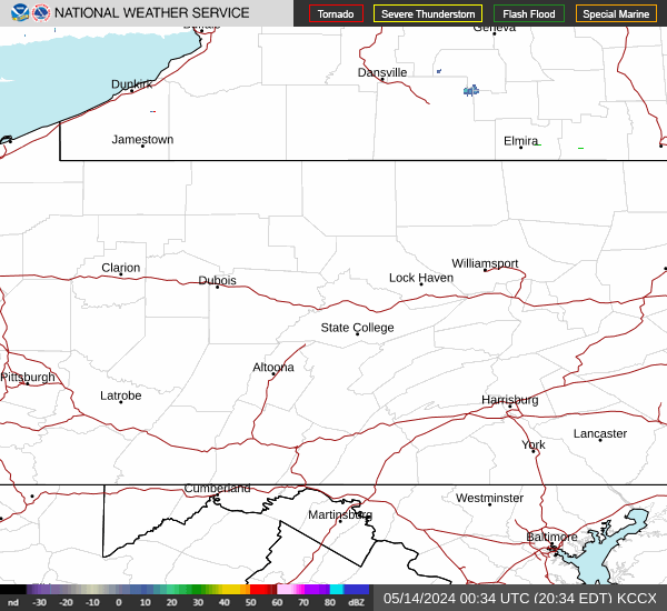
Current Radar Image
Sun Almanac for Wheatland, Pennsylvania
Sunrise: 07:21 AM
Sunset: 5:14 PM
Civil Sunrise:06:52 AM
Civil Sunset: 5:43 PM
Nautical Sunrise: 06:19 AM
Nautical Sunset: 6:16 PM
Astro Sunrise: 05:47 AM
Astro Sunset: 6:48 PM
Pennsylvania's Current Temperatures
 Pennsylvania's Satellite Image
 Pennsylvania's Current Wind Direction
| National Summary |
of upper and lower values of current conditions amongst 7115 locations
in the contiguous United States |
|
High
Temp |
77° |
Keathley C 875, Louisiana
|
|
Low
Temp |
-31° |
Park Rapids, Minnesota
and 3 other locations
|
|
Wind
Speed |
28mph |
Copper Harbor, Michigan
and 1 other location
|
|
Wind
Gust |
41mph |
Dunkirk, New York
|
|
Wind
Chill |
-56° |
Grand Marais, Minnesota
|
|
High
Pressure |
30.75Hg |
Mitchell, South Dakota
and 3 other locations
|
|
Low
Pressure |
29.55Hg |
Midlothian, Texas
|
|
| # Locations Reporting Snow |
96 |
|
| # Locations Reporting Rain |
29 |
|
| # Locations Reporting Fog |
49 |
|
| Average Temperature in the Contiguous USA |
26° |
|
Any use of the information on this page is at your own risk. This information should not be relied upon in life-threatening situations, potential financial loss situations or in lieu of any officially disseminated information. Visit the
National Weather Service for official information.