Sherwood, Delaware Weather
Current Conditions at
DOVER AFB - (KDOV)
46°
Cloudy
Mist
as of 9:55 AM EST
Rel. Humidity: 93%
Dew Point: 45°F
Visibility: 6 Miles
Pressure: 30.26 in.
Flight Rule: IFR
Cloud Level(s): Solid Overcast at 600ft
Current Conditions at
MILLVILLE - (KMIV)
45°
Cloudy
Mist
as of 10:02 AM EST
Rel. Humidity: 93%
Dew Point: 43°F
Visibility: 6 Miles
Pressure: 30.27 in.
Flight Rule: MVFR
Wind Data
5 MPH
040° Northeast
Cloud Level(s): Scattered at 600ft, Broken at 2900ft, Solid Overcast at 6500ft
Current Conditions at
GEORGETOWN - (KGED)
50°
Cloudy
as of 9:54 AM EST
Rel. Humidity: 87%
Dew Point: 46°F
Visibility: 8 Miles
Pressure: 30.27 in.
Flight Rule: MVFR
Wind Data
5 MPH
030° Northeast
Cloud Level(s): Broken at 1000ft, Solid Overcast at 1700ft
Current Conditions at
WILDWOOD - (KWWD)
46°
Cloudy
Light Rain Mist
as of 9:56 AM EST
Rel. Humidity: 93%
Dew Point: 45°F
Visibility: 1 Miles
Pressure: 30.29 in.
Flight Rule: LIFR
Cloud Level(s): Solid Overcast at 200ft
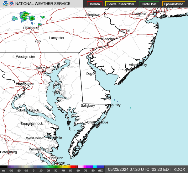
Current Radar Image
Sun Almanac for Sherwood, Delaware
Sunrise: 11:30 AM
Sunset: 10:58 PM
Civil Sunrise:11:03 AM
Civil Sunset: 11:24 PM
Nautical Sunrise: 10:32 AM
Nautical Sunset: 11:55 PM
Astro Sunrise: 10:01 AM
Astro Sunset: 00:26 PM
Delaware's Current Temperatures
 Delaware's Satellite Image
 Delaware's Current Wind Direction
| National Summary |
of upper and lower values of current conditions amongst 7103 locations
in the contiguous United States |
|
High
Temp |
82° |
New Smyrna Beach, Florida
|
|
Low
Temp |
-36° |
Jesup-Wayne Cty A/P, Georgia
|
|
Wind
Speed |
28mph |
Salida Mountain, Colorado
|
|
Wind
Gust |
35mph |
Livingston, Montana
|
|
Wind
Chill |
-2° |
Berthoud Pass, Colorado
|
|
High
Pressure |
30.42Hg |
Thomson, Georgia
|
|
Low
Pressure |
29.57Hg |
Charlie, Montana
|
|
| # Locations Reporting Snow |
5 |
|
| # Locations Reporting Rain |
103 |
|
| # Locations Reporting Thunderstorms / Lightning |
12 |
|
| # Locations Reporting Fog |
163 |
|
| Average Temperature in the Contiguous USA |
49° |
|
Any use of the information on this page is at your own risk. This information should not be relied upon in life-threatening situations, potential financial loss situations or in lieu of any officially disseminated information. Visit the
National Weather Service for official information.