No Watches or Warnings for Wailua
Issued: 4:01 pm HST Dec 7, 2025 Latitude: 22.0492228 Longitude: -159.3352206 View on Google Maps
|
|
|
|
|
|
|
|
|
|
 |
 |
 |
 |
 |
|
|
|
| Low: °F |
High: °F |
High: °F |
High: °F |
High: °F |
High: °F |
High: °F |
High: °F |
| Low: °F |
Low: °F |
Low: °F |
Low: °F |
Low: °F |
Low: °F |
|
| Rain |
Rain |
Mostly Sunny |
Rain |
Partly Sunny |
Mostly Sunny |
Partly Sunny |
Partly Sunny |
Current Conditions at
LIHUE - (PHLI)
79°
Mostly Cloudy
as of 4:53 PM HST
Rel. Humidity: 65%
Dew Point: 66°F
Visibility: 10 Miles
Pressure: 29.99 in.
Flight Rule: VFR
Wind Data
12 MPH
060° Northeast
Cloud Level(s): Scattered at 1900ft, Broken at 6000ft
Current Conditions at
WHEELER AFB - (PHHI)
75°
Cloudy
as of 4:55 PM HST
Rel. Humidity: 69%
Dew Point: 64°F
Visibility: 10 Miles
Pressure: 30.00 in.
Flight Rule: VFR
Cloud Level(s): Solid Overcast at 4900ft
Current Conditions at
BARBERS POINT NAS - (PHJR)
79°
Mostly Clear
as of 4:53 PM HST
Rel. Humidity: 65%
Dew Point: 66°F
Visibility: 10 Miles
Pressure: 29.97 in.
Flight Rule: VFR
Wind Data
8 MPH
040° Northeast
Cloud Level(s): Few at 3400ft
Current Conditions at
HONOLULU - (PHNL)
81°
Partly Cloudy
as of 4:53 PM HST
Rel. Humidity: 61%
Dew Point: 66°F
Visibility: 10 Miles
Pressure: 29.97 in.
Flight Rule: VFR
Wind Data
14 MPH
060° Northeast
Cloud Level(s): Few at 2300ft, Scattered at 3500ft, Scattered at 7000ft
|
Tonight... Isolated showers. Partly cloudy, with a low around 74. Northeast wind 3 to 8 mph. Chance of precipitation is 20%. |
|
|
Monday... Isolated showers. Mostly sunny, with a high near 80. East wind 7 to 11 mph. Chance of precipitation is 20%. |
|
 |
Monday Night... Partly cloudy, with a low around 72. East wind 5 to 10 mph becoming light east southeast after midnight. |
|
|
Tuesday... Mostly sunny, with a high near 80. Light east wind. |
|
|
Tuesday Night... Partly cloudy, with a low around 71. Calm wind becoming west southwest around 5 mph after midnight. |
|
|
Wednesday... Scattered showers after noon. Mostly sunny, with a high near 80. Southwest wind 5 to 9 mph. Chance of precipitation is 30%. |
|
 |
Wednesday Night... Showers likely, mainly after 8pm. Mostly cloudy, with a low around 71. West southwest wind around 9 mph becoming north northwest after midnight. Chance of precipitation is 70%. |
|
|
Thursday... Showers likely before 8am. Partly sunny, with a high near 79. North wind around 10 mph. Chance of precipitation is 70%. |
|
 |
Thursday Night... Mostly cloudy, with a low around 70. North wind around 10 mph. |
|
|
Friday... Mostly sunny, with a high near 79. North northeast wind around 10 mph becoming east southeast in the afternoon. |
|
|
Friday Night... Partly cloudy, with a low around 71. East southeast wind around 10 mph becoming south southwest after midnight. |
|
|
Saturday... Isolated showers. Partly sunny, with a high near 79. South southwest wind 10 to 13 mph. Chance of precipitation is 20%. |
|
 |
Saturday Night... Isolated showers. Mostly cloudy, with a low around 72. South southwest wind 8 to 10 mph. Chance of precipitation is 20%. |
|
|
Sunday... Isolated showers. Partly sunny, with a high near 79. South wind 8 to 10 mph. Chance of precipitation is 20%. |
|
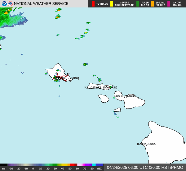
Current Radar Image
Sun Almanac for Wailua, Hawaii
Sunrise: 07:04 AM
Sunset: 5:54 PM
Civil Sunrise:06:40 AM
Civil Sunset: 6:18 PM
Nautical Sunrise: 06:12 AM
Nautical Sunset: 6:46 PM
Astro Sunrise: 05:45 AM
Astro Sunset: 7:13 PM
Hawaii's Current Temperatures
 Hawaii's Satellite Image
 Hawaii's Current Wind Direction
| National Summary |
of upper and lower values of current conditions amongst 6974 locations
in the contiguous United States |
|
High
Temp |
79° |
Lantana/Palm Bea, Florida
and 6 other locations
|
|
Low
Temp |
-17° |
Ely, Minnesota
|
|
Wind
Speed |
36mph |
Dakota Hill, Colorado
|
|
Wind
Gust |
53mph |
Dakota Hill, Colorado
|
|
Wind
Chill |
-16° |
Sisseton, South Dakota
and 2 other locations
|
|
High
Pressure |
30.41Hg |
Winona Municipalcipal, Minnesota
|
|
Low
Pressure |
29.76Hg |
Cutbank, Montana
and 1 other location
|
|
| # Locations Reporting Snow |
79 |
|
| # Locations Reporting Rain |
56 |
|
| # Locations Reporting Thunderstorms / Lightning |
1 |
|
| # Locations Reporting Fog |
38 |
|
| Average Temperature in the Contiguous USA |
33° |
|
Any use of the information on this page is at your own risk. This information should not be relied upon in life-threatening situations, potential financial loss situations or in lieu of any officially disseminated information. Visit the
National Weather Service for official information.