Forest Lake, South Carolina Weather
No Watches or Warnings for Forest Lake
Issued: 6:23 pm EST Dec 17, 2025 Latitude: 34.2112321 Longitude: -82.1951225 View on Google Maps
|
|
|
|
|
|
|
|
|
|
 |
 |
 |
 |
|
|
 |
|
| Low: °F |
High: °F |
High: °F |
High: °F |
High: °F |
High: °F |
High: °F |
High: °F |
| Low: °F |
Low: °F |
Low: °F |
Low: °F |
Low: °F |
Low: °F |
|
| Mostly Cloudy |
Rain |
Rain |
Sunny |
Sunny |
Sunny |
Mostly Sunny |
Mostly Sunny |
Current Conditions at
GREENWOOD - (KGRD)
45°
Clear
as of 7:56 PM EST
Rel. Humidity: 81%
Dew Point: 39°F
Visibility: 10 Miles
Pressure: 30.16 in.
Flight Rule: VFR
Cloud Level(s): Clear
Current Conditions at
ANDERSON - (KAND)
46°
Clear
as of 7:56 PM EST
Rel. Humidity: 49%
Dew Point: 28°F
Visibility: 10 Miles
Pressure: 30.15 in.
Flight Rule: VFR
Cloud Level(s): Clear
Current Conditions at
GREENVILLE DOWNTOWN - (KGMU)
52°
Clear
as of 7:53 PM EST
Rel. Humidity: 25%
Dew Point: 18°F
Visibility: 10 Miles
Pressure: 30.15 in.
Flight Rule: VFR
Cloud Level(s): Clear
Current Conditions at
WASHINGTON-WILKES A/P - (KIIY)
50°
Clear
as of 8:15 PM EST
Rel. Humidity: 87%
Dew Point: 46°F
Visibility: 10 Miles
Pressure: 30.15 in.
Flight Rule: VFR
Cloud Level(s): Clear
|
Tonight... Mostly cloudy, with a low around 40. Calm wind. |
|
|
Thursday... Rain likely, mainly after 9am. Patchy fog before 3pm, then patchy fog after 4pm. Otherwise, cloudy, with a high near 59. Calm wind becoming east southeast around 6 mph in the morning. Chance of precipitation is 70%. New precipitation amounts between a tenth and quarter of an inch possible. |
|
 |
Thursday Night... Rain before 1am, then showers likely, mainly between 1am and 5am. Patchy fog. Low around 46. Southwest wind 6 to 14 mph, with gusts as high as 24 mph. Chance of precipitation is 100%. New precipitation amounts between a tenth and quarter of an inch possible. |
|
|
Friday... A 30 percent chance of showers before 7am. Sunny, with a high near 56. West wind 8 to 14 mph, with gusts as high as 22 mph. New precipitation amounts of less than a tenth of an inch possible. |
|
 |
Friday Night... Clear, with a low around 31. West wind around 5 mph becoming calm in the evening. |
|
|
Saturday... Sunny, with a high near 57. |
|
 |
Saturday Night... Mostly clear, with a low around 36. |
|
|
Sunday... Sunny, with a high near 63. |
|
|
Sunday Night... Mostly clear, with a low around 34. |
|
|
Monday... Sunny, with a high near 54. |
|
 |
Monday Night... Partly cloudy, with a low around 34. |
|
|
Tuesday... Mostly sunny, with a high near 56. |
|
|
Tuesday Night... Partly cloudy, with a low around 41. |
|
|
Wednesday... Mostly sunny, with a high near 67. |
|
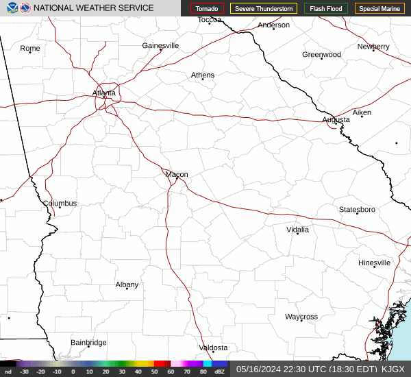
Current Radar Image
Sun Almanac for Forest Lake, South Carolina
Sunrise: 07:29 AM
Sunset: 5:21 PM
Civil Sunrise:07:01 AM
Civil Sunset: 5:49 PM
Nautical Sunrise: 06:30 AM
Nautical Sunset: 6:21 PM
Astro Sunrise: 05:59 AM
Astro Sunset: 6:51 PM
South Carolina's Current Temperatures
 South Carolina's Satellite Image
 South Carolina's Current Wind Direction
| National Summary |
of upper and lower values of current conditions amongst 6872 locations
in the contiguous United States |
|
High
Temp |
77° |
Walker Ridge 29, Louisiana
and 1 other location
|
|
Low
Temp |
14° |
Solon Springs, Wisconsin
|
|
Wind
Speed |
67mph |
Berthoud Pass, Colorado
|
|
Wind
Gust |
102mph |
Berthoud Pass, Colorado
|
|
Wind
Chill |
-5° |
Malta, Montana
|
|
High
Pressure |
30.24Hg |
North Bend, Oregon
|
|
Low
Pressure |
28.97Hg |
Minot AFB, North Dakota
|
|
| # Locations Reporting Snow |
13 |
|
| # Locations Reporting Rain |
25 |
|
| # Locations Reporting Fog |
10 |
|
| Average Temperature in the Contiguous USA |
47° |
|
Any use of the information on this page is at your own risk. This information should not be relied upon in life-threatening situations, potential financial loss situations or in lieu of any officially disseminated information. Visit the
National Weather Service for official information.