Willow Brook, New York Weather
Current Conditions at
JAMESTOWN - (KJHW)
10°
Cloudy
Light Snow Mist
as of 6:56 AM EST
Rel. Humidity: 92%
Dew Point: 9°F
Visibility: 6 Miles
Pressure: 30.10 in.
Flight Rule: MVFR
Cloud Level(s): Solid Overcast at 1600ft
Current Conditions at
DUNKIRK - (KDKK)
14°
Cloudy
as of 6:53 AM EST
Rel. Humidity: 85%
Dew Point: 10°F
Visibility: 7 Miles
Pressure: 30.18 in.
Flight Rule: MVFR
Wind Data
6 MPH
220° Southwest
Cloud Level(s): Broken at 1600ft, Solid Overcast at 2300ft
Current Conditions at
ERIE - (KERI)
12°
Cloudy
Light Snow Mist
as of 7:41 AM EST
Rel. Humidity: 92%
Dew Point: 10°F
Visibility: 2 1/2 Miles
Pressure: 30.18 in.
Flight Rule: IFR
Wind Data
5 MPH
210° Southwest
Cloud Level(s): Solid Overcast at 2400ft
Current Conditions at
BRADFORD - (KBFD)
10°
Cloudy
Mist
as of 7:12 AM EST
Rel. Humidity: 84%
Dew Point: 7°F
Visibility: 5 Miles
Pressure: 30.05 in.
Flight Rule: IFR
Wind Data
5 MPH
330° Northwest
Cloud Level(s): Solid Overcast at 900ft
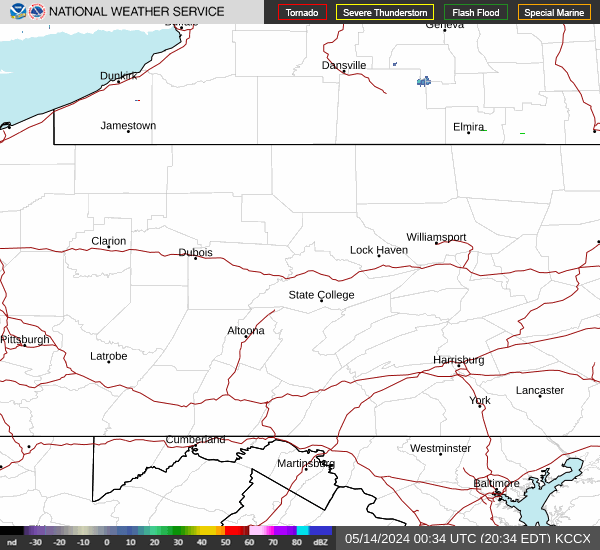
Current Radar Image
Sun Almanac for Willow Brook, New York
Sunrise: 12:26 AM
Sunset: 10:37 PM
Civil Sunrise:11:57 AM
Civil Sunset: 11:07 PM
Nautical Sunrise: 11:23 AM
Nautical Sunset: 11:40 PM
Astro Sunrise: 10:51 AM
Astro Sunset: 00:13 PM
New York's Current Temperatures
 New York's Satellite Image
 New York's Current Wind Direction
| National Summary |
of upper and lower values of current conditions amongst 7220 locations
in the contiguous United States |
|
High
Temp |
72° |
San Diego/Brown, California
|
|
Low
Temp |
-13° |
Hamilton, Ohio
|
|
Wind
Speed |
28mph |
Big Timber, Montana
|
|
Wind
Gust |
41mph |
Troutdale, Oregon
|
|
Wind
Chill |
-7° |
Pocono Mnts Municipalcipal Airport, Pennsylvania
|
|
High
Pressure |
30.64Hg |
Salida Mountain, Colorado
|
|
Low
Pressure |
29.70Hg |
Grand Marais, Minnesota
|
|
| # Locations Reporting Snow |
101 |
|
| # Locations Reporting Rain |
16 |
|
| # Locations Reporting Fog |
46 |
|
| Average Temperature in the Contiguous USA |
29° |
|
Any use of the information on this page is at your own risk. This information should not be relied upon in life-threatening situations, potential financial loss situations or in lieu of any officially disseminated information. Visit the
National Weather Service for official information.