Red Level, Alabama Weather
No Watches or Warnings for Red Level
Issued: 11:31 am CST Dec 18, 2025 Latitude: 33.0898434 Longitude: -85.4777293 View on Google Maps
|
|
|
|
|
|
|
|
|
|
 |
 |
 |
|
 |
|
 |
|
| High: °F |
Low: °F |
High: °F |
High: °F |
High: °F |
High: °F |
High: °F |
High: °F |
| Low: °F |
Low: °F |
Low: °F |
Low: °F |
Low: °F |
|
| Rain |
Thunderstorms |
Sunny |
Sunny |
Rain |
Sunny |
Mostly Sunny |
Mostly Sunny |
Current Conditions at
LA GRANGE - (KLGC)
61°
Mostly Cloudy
as of 12:15 PM EST
Rel. Humidity: 82%
Dew Point: 55°F
Visibility: 10 Miles
Pressure: 30.01 in.
Flight Rule: VFR
Wind Data
7 MPH
150° Southeast
Cloud Level(s): Scattered at 1500ft, Broken at 4500ft, Broken at 12000ft
Current Conditions at
ALEXANDER CITY - (KALX)
61°
Partly Cloudy
as of 11:15 AM CST
Rel. Humidity: 93%
Dew Point: 59°F
Visibility: 10 Miles
Pressure: 29.95 in.
Flight Rule: VFR
Wind Data
8 MPH
140° Southeast
Cloud Level(s): Scattered at 2200ft, Scattered at 3400ft
Current Conditions at
AUBURN - (KAUO)
59°
Cloudy
as of 10:56 AM CST
Rel. Humidity: 87%
Dew Point: 55°F
Visibility: 10 Miles
Pressure: 30.02 in.
Flight Rule: VFR
Wind Data
10 MPH
150° Southeast
Cloud Level(s): Few at 1200ft, Solid Overcast at 3900ft
Current Conditions at
ANNISTON - (KANB)
61°
Cloudy
as of 10:53 AM CST
Rel. Humidity: 82%
Dew Point: 55°F
Visibility: 10 Miles
Pressure: 29.95 in.
Flight Rule: VFR
Cloud Level(s): Few at 2000ft, Scattered at 2400ft, Solid Overcast at 9500ft
|
Today... Rain. Patchy fog. High near 61. Southeast wind around 10 mph, with gusts as high as 20 mph. Chance of precipitation is 90%. New precipitation amounts of less than a tenth of an inch possible. |
|
|
Tonight... Rain and possibly a thunderstorm before midnight, then a chance of rain between midnight and 3am. Low around 38. South wind 10 to 15 mph becoming west after midnight. Winds could gust as high as 25 mph. Chance of precipitation is 90%. New precipitation amounts between a tenth and quarter of an inch, except higher amounts possible in thunderstorms. |
|
|
Friday... Sunny, with a high near 52. Northwest wind 5 to 10 mph, with gusts as high as 20 mph. |
|
 |
Friday Night... Mostly clear, with a low around 30. Northwest wind around 5 mph becoming calm. |
|
|
Saturday... Sunny, with a high near 59. Calm wind becoming south around 5 mph in the afternoon. |
|
 |
Saturday Night... Partly cloudy, with a low around 39. |
|
|
Sunday... A 20 percent chance of rain before noon. Mostly sunny, with a high near 61. |
|
|
Sunday Night... Partly cloudy, with a low around 38. |
|
|
Monday... Sunny, with a high near 57. |
|
|
Monday Night... Partly cloudy, with a low around 37. |
|
|
Tuesday... Mostly sunny, with a high near 62. |
|
|
Tuesday Night... Mostly clear, with a low around 44. |
|
|
Wednesday... Mostly sunny, with a high near 68. |
|
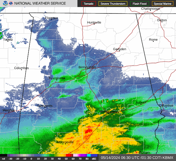
Current Radar Image
Sun Almanac for Red Level, Alabama
Sunrise: 06:40 AM
Sunset: 4:38 PM
Civil Sunrise:06:12 AM
Civil Sunset: 5:05 PM
Nautical Sunrise: 05:41 AM
Nautical Sunset: 5:36 PM
Astro Sunrise: 05:11 AM
Astro Sunset: 6:06 PM
Alabama's Current Temperatures
 Alabama's Satellite Image
 Alabama's Current Wind Direction
| National Summary |
of upper and lower values of current conditions amongst 7082 locations
in the contiguous United States |
|
High
Temp |
84° |
Boca Raton, Florida
|
|
Low
Temp |
-6° |
Rolla Municipal A/P, North Dakota
and 2 other locations
|
|
Wind
Speed |
49mph |
Hastings, Nebraska
|
|
Wind
Gust |
75mph |
Russell, Kansas
|
|
Wind
Chill |
-35° |
Rolla Municipal A/P, North Dakota
and 1 other location
|
|
High
Pressure |
30.93Hg |
Charlie, Montana
|
|
Low
Pressure |
29.07Hg |
Grand Marais, Minnesota
|
|
| # Locations Reporting Snow |
85 |
|
| # Locations Reporting Rain |
220 |
|
| # Locations Reporting Fog |
31 |
|
| Average Temperature in the Contiguous USA |
48° |
|
Any use of the information on this page is at your own risk. This information should not be relied upon in life-threatening situations, potential financial loss situations or in lieu of any officially disseminated information. Visit the
National Weather Service for official information.