Oakland, Pennsylvania Weather
Issued: 7:06 pm EST Jan 22, 2026 Latitude: 40.3064636 Longitude: -78.8875242 View on Google Maps
|
|
|
|
|
|
|
|
|
|
 |
 |
 |
 |
 |
 |
 |
|
| Low: °F |
High: °F |
High: °F |
High: °F |
High: °F |
High: °F |
High: °F |
High: °F |
| Low: °F |
Low: °F |
Low: °F |
Low: °F |
Low: °F |
Low: °F |
|
| Cloudy |
Mostly Sunny |
Snow |
Snow |
Snow |
Partly Sunny |
Snow |
Snow |
Current Conditions at
JOHNSTOWN - (KJST)
Clear
as of 8:54 PM EST
Rel. Humidity: 38%
Dew Point: 3°F
Visibility: 10 Miles
Pressure: 30.05 in.
Flight Rule: VFR
Wind Data
13 MPH
Gust: 22 MPH
260° West
Cloud Level(s): Clear
Current Conditions at
STEWART FIELD - (KIDI)
Mostly Clear
as of 8:55 PM EST
Rel. Humidity: 42%
Dew Point: 7°F
Visibility: 10 Miles
Pressure: 30.13 in.
Flight Rule: VFR
Wind Data
15 MPH
Gust: 23 MPH
260° West
Cloud Level(s): Few at 12000ft
Current Conditions at
CLEARFIELD - (KFIG)
Clear
as of 8:54 PM EST
Rel. Humidity: 35%
Dew Point: 3°F
Visibility: 10 Miles
Pressure: 30.06 in.
Flight Rule: VFR
Wind Data
13 MPH
Gust: 26 MPH
250° West
Cloud Level(s): Clear
|
Tonight... Partly cloudy, with a low around 19. Southwest wind around 7 mph, with gusts as high as 20 mph. |
|
|
Friday... Mostly sunny, with a temperature rising to near 23 by 11am, then falling to around 13 during the remainder of the day. Wind chill values as low as zero. Southwest wind 9 to 14 mph becoming northwest in the afternoon. Winds could gust as high as 29 mph. |
|
|
Friday Night... Partly cloudy, with a low around -2. Wind chill values as low as -10. Northwest wind 5 to 9 mph becoming calm after midnight. Winds could gust as high as 21 mph. |
|
|
Saturday... A slight chance of snow after 1pm. Mostly cloudy, with a high near 13. Wind chill values as low as zero. Light and variable wind. Chance of precipitation is 20%. |
|
|
Saturday Night... Snow. The snow could be heavy at times. Low around 9. Southeast wind 3 to 8 mph. Winds could gust as high as 20 mph. Chance of precipitation is 100%. New snow accumulation of 3 to 5 inches possible. |
|
|
Sunday... Snow. The snow could be heavy at times. High near 21. Chance of precipitation is 100%. New snow accumulation of 5 to 9 inches possible. |
|
 |
Sunday Night... Snow. Low around 12. Chance of precipitation is 90%. |
|
|
Monday... A chance of snow. Mostly cloudy, with a high near 19. Chance of precipitation is 50%. |
|
 |
Monday Night... Mostly cloudy, with a low around -1. |
|
|
Tuesday... Partly sunny, with a high near 16. |
|
|
Tuesday Night... Mostly cloudy, with a low around 9. |
|
|
Wednesday... A chance of snow. Mostly cloudy, with a high near 21. Chance of precipitation is 30%. |
|
|
Wednesday Night... A chance of snow. Mostly cloudy, with a low around 6. Chance of precipitation is 30%. |
|
|
Thursday... A chance of snow. Mostly cloudy, with a high near 17. Chance of precipitation is 30%. |
|
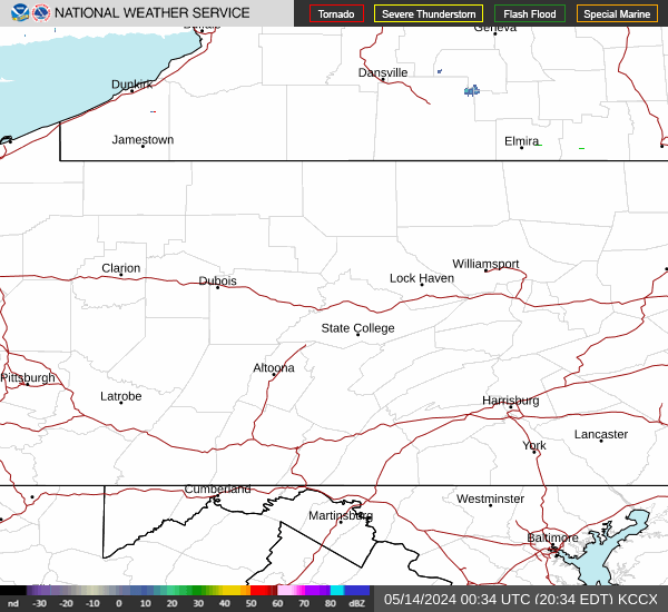
Current Radar Image
Sun Almanac for Oakland, Pennsylvania
Sunrise: 07:32 AM
Sunset: 5:22 PM
Civil Sunrise:07:03 AM
Civil Sunset: 5:51 PM
Nautical Sunrise: 06:30 AM
Nautical Sunset: 6:24 PM
Astro Sunrise: 05:58 AM
Astro Sunset: 6:57 PM
Pennsylvania's Current Temperatures
 Pennsylvania's Satellite Image
 Pennsylvania's Current Wind Direction
| National Summary |
of upper and lower values of current conditions amongst 6851 locations
in the contiguous United States |
|
High
Temp |
75° |
Viosca Knoll768, Alabama
and 6 other locations
|
|
Low
Temp |
-27° |
Fosston, Minnesota
|
|
Wind
Speed |
33mph |
Salida Mountain, Colorado
|
|
Wind
Gust |
43mph |
Benton Harbor, Michigan
|
|
Wind
Chill |
-56° |
Rolla Municipal A/P, North Dakota
and 1 other location
|
|
High
Pressure |
30.67Hg |
Wolf Point, Montana
|
|
Low
Pressure |
29.57Hg |
Midlothian, Texas
|
|
| # Locations Reporting Snow |
72 |
|
| # Locations Reporting Rain |
32 |
|
| # Locations Reporting Fog |
3 |
|
| Average Temperature in the Contiguous USA |
33° |
|
Any use of the information on this page is at your own risk. This information should not be relied upon in life-threatening situations, potential financial loss situations or in lieu of any officially disseminated information. Visit the
National Weather Service for official information.