Castlegate, Georgia Weather
Current Conditions at
MACON - (KMCN)
61°
Cloudy
as of 8:53 AM EDST
Rel. Humidity: 72%
Dew Point: 52°F
Visibility: 10 Miles
Pressure: 30.16 in.
Flight Rule: MVFR
Cloud Level(s): Solid Overcast at 2100ft
Current Conditions at
ROBINS AFB - (KWRB)
63°
Partly Cloudy
as of 8:55 AM EDST
Rel. Humidity: 63%
Dew Point: 50°F
Visibility: 10 Miles
Pressure: 30.15 in.
Flight Rule: VFR
Cloud Level(s): Few at 5000ft, Scattered at 25000ft
Current Conditions at
THOMASTON - (KOPN)
61°
Cloudy
as of 8:55 AM EDST
Rel. Humidity: 77%
Dew Point: 54°F
Visibility: 10 Miles
Pressure: 30.17 in.
Flight Rule: MVFR
Wind Data
7 MPH
120° Southeast
Cloud Level(s): Solid Overcast at 1500ft
Current Conditions at
MILLEDGEVILLE/BALDWIN - (KMLJ)
61°
Cloudy
as of 8:55 AM EDST
Rel. Humidity: 72%
Dew Point: 52°F
Visibility: 10 Miles
Pressure: 30.17 in.
Flight Rule: MVFR
Cloud Level(s): Solid Overcast at 1900ft
Moon Almanac for Castlegate, Georgia
Moon Phase: Waxing Gibbous
Moon Illumination: 84%
Moon Age: 10.8 Days
Moon is currently below the horizon
Distance from Moon to Earth: 239,421 miles
Upcoming Lunar Events for
Castlegate: |
| Next Event | Event Time | Illum |
|
|
|
| Moonrise: | 04:43 pm Mon | 85.9% |
| High Moon: | 10:56 pm Mon | 87.7% |
| Moonset: | 05:01 am Tue | 89.3% |
 | New Moon: Fri Apr 17 |
 | First Quarter: Thu Apr 23 |
 | Full Moon: Fri May 1 |
 | Last Quarter: Sat May 9 |
| New Moon: Sat May 16 |
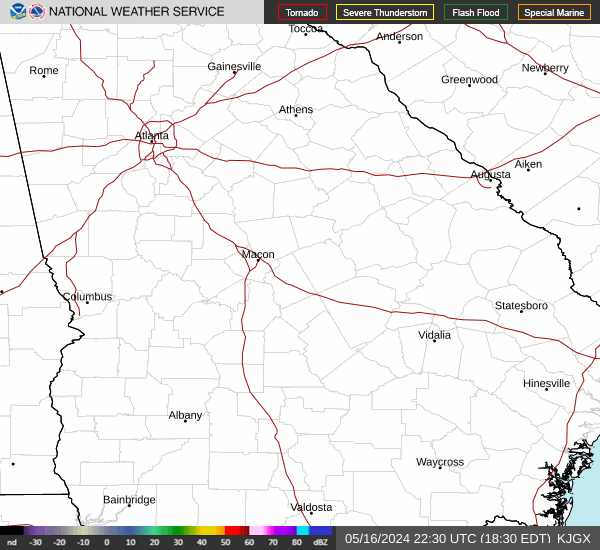
Current Radar Image
| Georgia State Summary |
of upper and lower values of current conditions amongst 70 locations
in Georgia |
|
High
Temp |
70° |
Camilla
and 2 other locations
|
|
|
|
|
|
|
|
High
Pressure |
30.23Hg |
Thomson
|
|
Low
Pressure |
30.05Hg |
Lawson AFB
|
|
| Average temperature in Georgia |
62° |
|
# Locations Reporting MVFR
(Marginal Visual Flight Rules) |
1 |
|
# Locations Reporting VFR
(Visual Flight Rules) |
69 |
|
Georgia's Current Temperatures
 Georgia's Satellite Image
 Georgia's Current Wind Direction
| National Summary |
of upper and lower values of current conditions amongst 6039 locations
in the contiguous United States |
|
High
Temp |
79° |
Viosca Knoll768, Alabama
and 10 other locations
|
|
Low
Temp |
14° |
Malta, Montana
|
|
Wind
Speed |
30mph |
Berthoud Pass, Colorado
|
|
Wind
Gust |
55mph |
Berthoud Pass, Colorado
|
|
Wind
Chill |
0° |
Berthoud Pass, Colorado
|
|
High
Pressure |
30.31Hg |
Mecklenburg-Brunswic, Virginia
and 1 other location
|
|
Low
Pressure |
29.47Hg |
Lamoni, Iowa
|
|
| # Locations Reporting Snow |
31 |
|
| # Locations Reporting Rain |
134 |
|
| # Locations Reporting Thunderstorms / Lightning |
10 |
|
| # Locations Reporting Fog |
16 |
|
| Average Temperature in the Contiguous USA |
54° |
|
Any use of the information on this page is at your own risk. This information should not be relied upon in life-threatening situations, potential financial loss situations or in lieu of any officially disseminated information. Visit the
National Weather Service for official information.