Farwell, Minnesota Weather
No Watches or Warnings for Farwell
Issued: 10:10 am CDT May 4, 2024 Latitude: 45.7521819 Longitude: -95.6172677 View on Google Maps
|
|
|
|
|
|
|
|
|
|
 |
 |
|
 |
 |
|
 |
|
| High: °F |
Low: °F |
High: °F |
High: °F |
High: °F |
High: °F |
High: °F |
High: °F |
| Low: °F |
Low: °F |
Low: °F |
Low: °F |
Low: °F |
|
| Sunny |
Mostly Clear |
Sunny |
Partly Sunny |
Thunderstorms |
Partly Sunny |
Thunderstorms |
Partly Sunny |
Current Conditions at
ALEXANDRIA - (KAXN)
52°
Mostly Cloudy
as of 10:21 AM CDST
Rel. Humidity: 76%
Dew Point: 45°F
Visibility: 10 Miles
Pressure: 30.03 in.
Flight Rule: VFR
Cloud Level(s): Scattered at 1400ft, Broken at 4600ft
Current Conditions at
GLENWOOD - (KGHW)
52°
Clear
as of 10:35 AM CDST
Rel. Humidity: 76%
Dew Point: 45°F
Visibility: 10 Miles
Pressure: 30.03 in.
Flight Rule: VFR
Cloud Level(s): Clear
Current Conditions at
MORRIS MUNICIPAL - (KMOX)
52°
Clear
as of 10:35 AM CDST
Rel. Humidity: 81%
Dew Point: 46°F
Visibility: 10 Miles
Pressure: 30.01 in.
Flight Rule: VFR
Wind Data
10 MPH
300° Northwest
Cloud Level(s): Clear
Current Conditions at
WHEATON NDB - (KETH)
54°
Clear
as of 10:33 AM CDST
Rel. Humidity: 66%
Dew Point: 43°F
Visibility: 10 Miles
Pressure: 30.05 in.
Flight Rule: VFR
Wind Data
10 MPH
300° Northwest
Cloud Level(s): Clear
|
Today... Sunny, with a high near 60. West northwest wind 10 to 15 mph. |
|
|
Tonight... Mostly clear, with a low around 39. Northwest wind 5 to 10 mph becoming northeast after midnight. |
|
|
Sunday... Sunny, with a high near 66. East southeast wind 5 to 10 mph becoming south southwest in the morning. |
|
|
Sunday Night... Mostly clear, with a low around 48. Southeast wind 10 to 15 mph. |
|
|
Monday... A 30 percent chance of showers after 1pm. Partly sunny, with a high near 71. Windy, with a southeast wind 15 to 20 mph increasing to 25 to 30 mph in the afternoon. Winds could gust as high as 45 mph. |
|
 |
Monday Night... Showers and possibly a thunderstorm before 4am, then showers likely. Low around 53. Windy, with a southeast wind 25 to 30 mph, with gusts as high as 50 mph. Chance of precipitation is 90%. New rainfall amounts between a quarter and half of an inch possible. |
|
|
Tuesday... A chance of showers before 7am, then a chance of showers and thunderstorms between 7am and 1pm, then a chance of showers after 1pm. Partly sunny, with a high near 68. Breezy, with a south southwest wind 15 to 20 mph, with gusts as high as 35 mph. Chance of precipitation is 30%. |
|
 |
Tuesday Night... A 20 percent chance of showers and thunderstorms before 1am. Mostly cloudy, with a low around 48. South wind 10 to 15 mph. |
|
|
Wednesday... A 40 percent chance of showers, mainly after 1pm. Partly sunny, with a high near 65. South wind 10 to 15 mph. |
|
 |
Wednesday Night... A chance of showers and thunderstorms before 1am, then a slight chance of showers. Mostly cloudy, with a low around 45. South wind 10 to 15 mph becoming north in the evening. Chance of precipitation is 40%. |
|
|
Thursday... A 40 percent chance of showers and thunderstorms. Partly sunny, with a high near 59. North wind 10 to 15 mph. |
|
|
Thursday Night... A 20 percent chance of showers and thunderstorms. Mostly cloudy, with a low around 43. North wind 10 to 15 mph. |
|
|
Friday... A 20 percent chance of showers. Partly sunny, with a high near 60. North wind 10 to 15 mph, with gusts as high as 25 mph. |
|
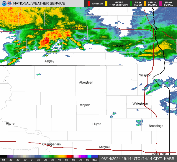
Current Radar Image
Sun Almanac for Farwell, Minnesota
Sunrise: 06:04 AM
Sunset: 8:34 PM
Civil Sunrise:05:31 AM
Civil Sunset: 9:08 PM
Nautical Sunrise: 04:49 AM
Nautical Sunset: 9:50 PM
Astro Sunrise: 04:01 AM
Astro Sunset: 10:37 PM
Minnesota's Current Temperatures
 Minnesota's Satellite Image
 Minnesota's Current Wind Direction
| National Summary |
of upper and lower values of current conditions amongst 7141 locations
in the contiguous United States |
|
High
Temp |
86° |
Fort Lauderdale Intl, Florida
and 3 other locations
|
|
Low
Temp |
30° |
Jackson, Wyoming
and 1 other location
|
|
Wind
Speed |
33mph |
Albuquerque, New Mexico
|
|
Wind
Gust |
49mph |
South Lake Tahoe, California
|
|
Wind
Chill |
23° |
Salida Mountain, Colorado
|
|
Heat
Index |
90° |
Venice, Florida
and 1 other location
|
|
High
Pressure |
30.39Hg |
Presque Isle, Maine
and 1 other location
|
|
Low
Pressure |
29.45Hg |
Bend Municipal A/P, Oregon
|
|
| # Locations Reporting Snow |
2 |
|
| # Locations Reporting Rain |
194 |
|
| # Locations Reporting Thunderstorms / Lightning |
4 |
|
| # Locations Reporting Fog |
10 |
|
| Average Temperature in the Contiguous USA |
62° |
|
Any use of the information on this page is at your own risk. This information should not be relied upon in life-threatening situations, potential financial loss situations or in lieu of any officially disseminated information. Visit the
National Weather Service for official information.