Farmersville, California Weather
No Watches or Warnings for Farmersville
Issued: 8:57 pm PDT Apr 26, 2024 Latitude: 36.2977283 Longitude: -119.2067767 View on Google Maps
|
|
|
|
|
|
|
|
|
|
 |
 |
 |
|
|
|
|
|
| Low: °F |
High: °F |
High: °F |
High: °F |
High: °F |
High: °F |
High: °F |
High: °F |
| Low: °F |
Low: °F |
Low: °F |
Low: °F |
Low: °F |
Low: °F |
|
| Rain |
Clearing |
Sunny |
Sunny |
Sunny |
Sunny |
Sunny |
Sunny |
Current Conditions at
VISALIA - (KVIS)
63°
Mostly Cloudy
as of 8:56 PM PDST
Rel. Humidity: 51%
Dew Point: 45°F
Visibility: 10 Miles
Pressure: 29.94 in.
Flight Rule: VFR
Wind Data
9 MPH
310° Northwest
Cloud Level(s): Broken at 6500ft
Current Conditions at
PORTERVILLE - (KPTV)
61°
Cloudy
Light Rain
as of 8:56 PM PDST
Rel. Humidity: 63%
Dew Point: 48°F
Visibility: 10 Miles
Pressure: 29.93 in.
Flight Rule: VFR
Wind Data
10 MPH
350° North
Cloud Level(s): Scattered at 5500ft, Broken at 7000ft, Solid Overcast at 8500ft
Current Conditions at
HANFORD - (KHJO)
64°
Cloudy
as of 8:53 PM PDST
Rel. Humidity: 52%
Dew Point: 46°F
Visibility: 10 Miles
Pressure: 29.94 in.
Flight Rule: VFR
Wind Data
12 MPH
320° Northwest
Cloud Level(s): Solid Overcast at 6000ft
Current Conditions at
LEMOORE NAS - (KNLC)
63°
Cloudy
as of 8:56 PM PDST
Rel. Humidity: 48%
Dew Point: 43°F
Visibility: 10 Miles
Pressure: 29.95 in.
Flight Rule: VFR
Wind Data
18 MPH
320° Northwest
Cloud Level(s): Solid Overcast at 6500ft
|
Tonight... A 30 percent chance of showers before 11pm. Mostly cloudy, with a low around 48. West northwest wind 5 to 10 mph, with gusts as high as 15 mph. |
|
|
Saturday... Mostly cloudy through mid morning, then gradual clearing, with a high near 71. West northwest wind 5 to 10 mph. |
|
 |
Saturday Night... Mostly clear, with a low around 49. North northwest wind 5 to 10 mph. |
|
|
Sunday... Sunny, with a high near 77. West northwest wind 5 to 10 mph becoming southwest in the morning. |
|
 |
Sunday Night... Clear, with a low around 51. North northwest wind 5 to 10 mph. |
|
|
Monday... Sunny, with a high near 77. Northwest wind 5 to 10 mph. |
|
|
Monday Night... Clear, with a low around 51. North wind 5 to 10 mph, with gusts as high as 15 mph. |
|
|
Tuesday... Sunny, with a high near 81. South southeast wind 5 to 10 mph becoming west in the morning. |
|
|
Tuesday Night... Clear, with a low around 53. North wind 5 to 10 mph, with gusts as high as 15 mph. |
|
|
Wednesday... Sunny, with a high near 84. South southeast wind 5 to 10 mph becoming west in the morning. |
|
|
Wednesday Night... Clear, with a low around 54. North wind 5 to 10 mph. |
|
|
Thursday... Sunny, with a high near 85. West northwest wind 5 to 10 mph. |
|
|
Thursday Night... Mostly clear, with a low around 54. North northwest wind 5 to 10 mph, with gusts as high as 15 mph. |
|
|
Friday... Sunny, with a high near 84. West wind 5 to 10 mph. |
|
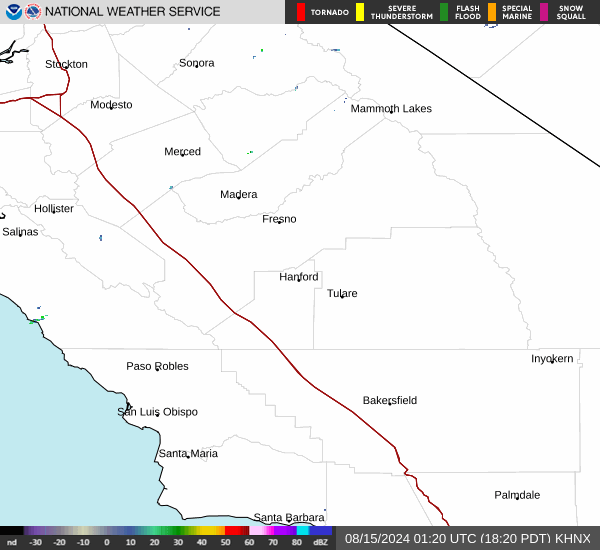
Current Radar Image
Sun Almanac for Farmersville, California
Sunrise: 06:07 AM
Sunset: 7:42 PM
Civil Sunrise:05:40 AM
Civil Sunset: 8:09 PM
Nautical Sunrise: 05:07 AM
Nautical Sunset: 8:42 PM
Astro Sunrise: 04:32 AM
Astro Sunset: 9:16 PM
California's Current Temperatures
 California's Satellite Image
 California's Current Wind Direction
| National Summary |
of upper and lower values of current conditions amongst 6901 locations
in the contiguous United States |
|
High
Temp |
88° |
Del Rio, Texas
|
|
Low
Temp |
1° |
Imperial Beach NAS, California
|
|
Wind
Speed |
32mph |
29 Palms, California
and 1 other location
|
|
Wind
Gust |
49mph |
San Nicolas I.Nas, California
|
|
Wind
Chill |
-16° |
Imperial BeachNAS, California
|
|
Heat
Index |
89° |
Del Rio, Texas
|
|
High
Pressure |
30.54Hg |
Westhampton Beach, New York
|
|
Low
Pressure |
29.33Hg |
Sheldon, Iowa
and 1 other location
|
|
| # Locations Reporting Snow |
6 |
|
| # Locations Reporting Rain |
175 |
|
| # Locations Reporting Thunderstorms / Lightning |
13 |
|
| # Locations Reporting Fog |
1 |
|
| Average Temperature in the Contiguous USA |
58° |
|
Any use of the information on this page is at your own risk. This information should not be relied upon in life-threatening situations, potential financial loss situations or in lieu of any officially disseminated information. Visit the
National Weather Service for official information.