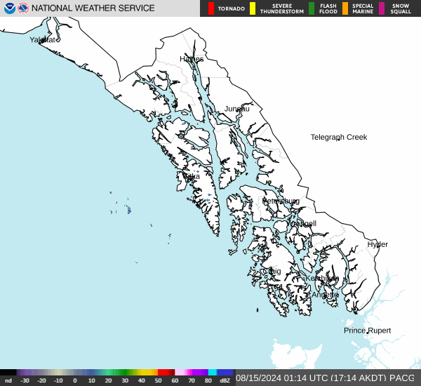
No Watches or Warnings for Chilkat
Issued: 3:34 pm AKDT Apr 27, 2024 Latitude: 59.399702 Longitude: -135.8964089 View on Google Maps
|
|
|
|
|
|
|
|
|
|
 |
 |
 |
 |
|
|
 |
 |
| Low: °F |
High: °F |
High: °F |
High: °F |
High: °F |
High: °F |
High: °F |
High: °F |
| Low: °F |
Low: °F |
Low: °F |
Low: °F |
Low: °F |
Low: °F |
|
| Rain |
Rain |
Mostly Cloudy |
Partly Sunny |
Partly Sunny |
Partly Sunny |
Mostly Sunny |
Rain |
Current Conditions at
HAINES - (PAHN)
Cloudy
as of 1:54 AM ADST
Rel. Humidity: 46%
Dew Point: 30°F
Visibility: 10 Miles
Pressure: 29.49 in.
Flight Rule: VFR
Wind Data
12 MPH
Gust: 22 MPH
310° Northwest
Cloud Level(s): Solid Overcast at 11000ft
Current Conditions at
SKAGWAY - (PAGY)
43°
Partly Cloudy
as of 1:53 AM ADST
Rel. Humidity: 60%
Dew Point: 30°F
Visibility: 10 Miles
Pressure: 29.48 in.
Flight Rule: VFR
Cloud Level(s): Scattered at 12000ft
Current Conditions at
GUSTAVAS - (PAGS)
48°
Clear
as of 1:56 AM ADST
Rel. Humidity: 70%
Dew Point: 39°F
Visibility: 10 Miles
Pressure: 29.52 in.
Flight Rule: VFR
Wind Data
7 MPH
130° Southeast
Cloud Level(s): Clear
Current Conditions at
JUNEAU - (PAJN)
Mostly Cloudy
as of 1:53 AM ADST
Rel. Humidity: 66%
Dew Point: 37°F
Visibility: 10 Miles
Pressure: 29.52 in.
Flight Rule: VFR
Cloud Level(s): Broken at 5500ft, Broken at 10000ft
|
Overnight... A 30 percent chance of showers after 4am. Mostly cloudy, with a low around 40. Calm wind. |
|
|
Sunday... Showers likely, mainly between 7am and 10am. Cloudy, with a high near 52. Calm wind becoming east around 5 mph. Chance of precipitation is 60%. New precipitation amounts between a tenth and quarter of an inch possible. |
|
 |
Sunday Night... A 50 percent chance of showers, mainly before 4am. Cloudy, with a low around 38. Calm wind. |
|
|
Monday... Mostly cloudy, with a high near 56. Calm wind becoming west around 5 mph in the afternoon. |
|
 |
Monday Night... Mostly cloudy, with a low around 32. West wind around 5 mph becoming calm in the evening. |
|
|
Tuesday... Partly sunny, with a high near 57. |
|
 |
Tuesday Night... Partly cloudy, with a low around 30. |
|
|
Wednesday... Partly sunny, with a high near 58. |
|
|
Wednesday Night... Mostly cloudy, with a low around 38. |
|
|
Thursday... Partly sunny, with a high near 57. |
|
|
Thursday Night... Partly cloudy, with a low around 39. |
|
|
Friday... Mostly sunny, with a high near 57. |
|
|
Friday Night... Mostly cloudy, with a low around 40. |
|
|
Saturday... A chance of rain. Mostly cloudy, with a high near 56. |
|
Alaska's Current Temperatures
 Alaska's Satellite Image
 Alaska's Current Wind Direction
| National Summary |
of upper and lower values of current conditions amongst 7006 locations
in the contiguous United States |
|
High
Temp |
81° |
Corpus Christi NAS, Texas
|
|
Low
Temp |
1° |
Imperial Beach NAS, California
|
|
Wind
Speed |
33mph |
Creston, Iowa
|
|
Wind
Gust |
53mph |
Creston, Iowa
|
|
Wind
Chill |
0° |
Berthoud Pass, Colorado
|
|
High
Pressure |
30.33Hg |
Albemarle, North Carolina
and 3 other locations
|
|
Low
Pressure |
29.64Hg |
Zapata Cnty A/P, Texas
and 3 other locations
|
|
| # Locations Reporting Snow |
8 |
|
| # Locations Reporting Rain |
177 |
|
| # Locations Reporting Thunderstorms / Lightning |
17 |
|
| # Locations Reporting Fog |
29 |
|
| Average Temperature in the Contiguous USA |
55° |
|
Any use of the information on this page is at your own risk. This information should not be relied upon in life-threatening situations, potential financial loss situations or in lieu of any officially disseminated information. Visit the
National Weather Service for official information.