Beachville, Florida Weather
No Watches or Warnings for Beachville
Issued: 2:15 pm EDT May 2, 2024 Latitude: 29.9980081 Longitude: -82.8612376 View on Google Maps
|
|
|
|
|
|
|
|
|
|
 |
 |
 |
 |
|
 |
 |
|
| High: °F |
Low: °F |
High: °F |
High: °F |
High: °F |
High: °F |
High: °F |
High: °F |
| Low: °F |
Low: °F |
Low: °F |
Low: °F |
Low: °F |
|
| Thunderstorms |
Thunderstorms |
Rain |
Thunderstorms |
Thunderstorms |
Rain |
Sunny |
Sunny |
Current Conditions at
CROSS CITY - (KCTY)
Partly Cloudy
as of 1:55 PM EDST
Rel. Humidity: 46%
Dew Point: 66°F
Visibility: 10 Miles
Pressure: 29.95 in.
Flight Rule: VFR
Cloud Level(s): Scattered at 4400ft, Scattered at 11000ft
Current Conditions at
GAINESVILLE - (KGNV)
84°
Mostly Cloudy
as of 1:53 PM EDST
Rel. Humidity: 51%
Dew Point: 64°F
Visibility: 10 Miles
Pressure: 29.98 in.
Flight Rule: VFR
Cloud Level(s): Broken at 10000ft
Current Conditions at
VALDOSTA - (KVLD)
Mostly Cloudy
as of 1:45 PM EDST
Rel. Humidity: 43%
Dew Point: 64°F
Visibility: 10SM Miles
Pressure: 29.95 in.
Flight Rule: VFR
Cloud Level(s): Broken at 5500ft
|
This Afternoon... A 30 percent chance of showers and thunderstorms, mainly after 5pm. Partly sunny, with a high near 90. East wind around 6 mph. |
|
|
Tonight... A 30 percent chance of showers and thunderstorms, mainly before 10pm. Partly cloudy, with a low around 65. East wind 3 to 6 mph. |
|
|
Friday... A 10 percent chance of showers after 5pm. Patchy fog between 7am and 8am. Otherwise, sunny, with a high near 91. Southeast wind 3 to 6 mph. |
|
 |
Friday Night... A 10 percent chance of showers before 8pm. Mostly cloudy, with a low around 66. Calm wind becoming east around 6 mph after midnight. |
|
|
Saturday... A 50 percent chance of showers and thunderstorms after 2pm. Partly sunny, with a high near 88. Southeast wind 3 to 6 mph. |
|
|
Saturday Night... A chance of showers and thunderstorms before 8pm, then a slight chance of showers between 8pm and 2am. Partly cloudy, with a low around 65. Chance of precipitation is 30%. |
|
|
Sunday... A 50 percent chance of showers and thunderstorms after 2pm. Sunny, with a high near 89. |
|
 |
Sunday Night... A 30 percent chance of showers and thunderstorms before 8pm. Mostly clear, with a low around 66. |
|
|
Monday... A 20 percent chance of showers after 2pm. Mostly sunny, with a high near 89. |
|
 |
Monday Night... A 10 percent chance of showers before 8pm. Mostly clear, with a low around 65. |
|
|
Tuesday... Sunny, with a high near 91. |
|
 |
Tuesday Night... Mostly clear, with a low around 65. |
|
|
Wednesday... Sunny, with a high near 93. |
|
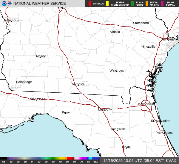
Current Radar Image
Sun Almanac for Beachville, Florida
Sunrise: 06:47 AM
Sunset: 8:10 PM
Civil Sunrise:06:22 AM
Civil Sunset: 8:35 PM
Nautical Sunrise: 05:51 AM
Nautical Sunset: 9:06 PM
Astro Sunrise: 05:20 AM
Astro Sunset: 9:37 PM
Florida's Current Temperatures
 Florida's Satellite Image
 Florida's Current Wind Direction
| National Summary |
of upper and lower values of current conditions amongst 7021 locations
in the contiguous United States |
|
High
Temp |
93° |
Jacksonville Cecil Fld, Florida
and 3 other locations
|
|
Low
Temp |
30° |
Charlie, Montana
and 2 other locations
|
|
Wind
Speed |
31mph |
Big Timber, Montana
and 2 other locations
|
|
Wind
Gust |
41mph |
Big Timber, Montana
and 2 other locations
|
|
Wind
Chill |
16° |
Charlie, Montana
|
|
Heat
Index |
105° |
Ft Rucker/Hanche, Alabama
|
|
High
Pressure |
30.21Hg |
Salida Mountain, Colorado
|
|
Low
Pressure |
29.67Hg |
Edinburg Intl Arpt, Texas
|
|
| # Locations Reporting Snow |
11 |
|
| # Locations Reporting Rain |
144 |
|
| # Locations Reporting Thunderstorms / Lightning |
8 |
|
| Average Temperature in the Contiguous USA |
69° |
|
Any use of the information on this page is at your own risk. This information should not be relied upon in life-threatening situations, potential financial loss situations or in lieu of any officially disseminated information. Visit the
National Weather Service for official information.