Batzulnetas, Alaska Weather
No Watches or Warnings for Batzulnetas
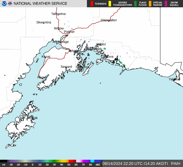
Issued: 3:32 am AKDT Apr 28, 2024 Latitude: 62.6147222 Longitude: -143.7713889 View on Google Maps
|
|
|
|
|
|
|
|
|
|
 |
 |
 |
 |
 |
 |
|
|
| Low: °F |
High: °F |
High: °F |
High: °F |
High: °F |
High: °F |
High: °F |
High: °F |
| Low: °F |
Low: °F |
Low: °F |
Low: °F |
Low: °F |
Low: °F |
|
| Snow |
Rain & Snow |
Rain & Snow |
Partly Sunny |
Rain |
Rain & Snow |
Rain & Snow |
Rain |
Current Conditions at
GULKANA - (PAGK)
32°
Clear
as of 3:53 AM ADST
Rel. Humidity: 80%
Dew Point: 27°F
Visibility: 10 Miles
Pressure: 29.61 in.
Flight Rule: VFR
Cloud Level(s): Clear
Current Conditions at
NORTHWAY - (PAOR)
37°
Cloudy
as of 3:53 AM ADST
Rel. Humidity: 69%
Dew Point: 28°F
Visibility: 10 Miles
Pressure: 29.63 in.
Flight Rule: VFR
Wind Data
5 MPH
310° Northwest
Cloud Level(s): Broken at 6500ft, Solid Overcast at 10000ft
Current Conditions at
BIG DELTA/DELTA J - (PABI)
36°
Cloudy
as of 3:53 AM ADST
Rel. Humidity: 59%
Dew Point: 23°F
Visibility: 10 Miles
Pressure: 29.72 in.
Flight Rule: VFR
Wind Data
7 MPH
240° Southwest
Cloud Level(s): Solid Overcast at 6000ft
Current Conditions at
VALDEZ SAWRS - (PAVD)
36°
Clear
as of 3:56 AM ADST
Rel. Humidity: 74%
Dew Point: 28°F
Visibility: 10 Miles
Pressure: 29.67 in.
Flight Rule: VFR
Wind Data
3 MPH
050° Northeast
Cloud Level(s): Clear
|
Overnight... Isolated snow showers. Mostly cloudy, with a low around 29. Northeast wind around 10 mph. Chance of precipitation is 20%. |
|
|
Sunday... A slight chance of snow showers before 10am, then a slight chance of rain showers after 1pm. Partly sunny, with a high near 50. Northeast wind 5 to 10 mph. Chance of precipitation is 20%. |
|
 |
Sunday Night... Scattered rain showers before 4am, then scattered snow showers. Mostly cloudy, with a low around 30. North wind around 5 mph becoming calm after midnight. Chance of precipitation is 30%. |
|
|
Monday... Scattered rain and snow showers before 10am, then scattered rain showers between 10am and 4pm. Mostly cloudy, with a high near 48. Calm wind becoming west around 5 mph in the morning. Chance of precipitation is 40%. |
|
 |
Monday Night... Mostly cloudy, with a low around 29. West wind around 5 mph becoming calm in the evening. |
|
|
Tuesday... Partly sunny, with a high near 48. Calm wind becoming northwest around 5 mph. |
|
|
Tuesday Night... Mostly cloudy, with a low around 29. |
|
|
Wednesday... A chance of rain after 10am. Partly sunny, with a high near 47. |
|
|
Wednesday Night... A chance of snow after 4am. Mostly cloudy, with a low around 27. |
|
|
Thursday... A chance of rain and snow before 10am, then a chance of rain. Mostly cloudy, with a high near 49. |
|
|
Thursday Night... A chance of snow. Mostly cloudy, with a low around 28. |
|
|
Friday... A chance of rain and snow. Mostly cloudy, with a high near 48. |
|
 |
Friday Night... A chance of rain. Mostly cloudy, with a low around 30. |
|
|
Saturday... A chance of rain. Mostly cloudy, with a high near 50. |
|
Alaska's Current Temperatures
 Alaska's Satellite Image
 Alaska's Current Wind Direction
| National Summary |
of upper and lower values of current conditions amongst 7143 locations
in the contiguous United States |
|
High
Temp |
81° |
Corpus Christi NAS, Texas
|
|
Low
Temp |
1° |
Imperial Beach NAS, California
|
|
Wind
Speed |
32mph |
Berthoud Pass, Colorado
|
|
Wind
Gust |
48mph |
Creston, Iowa
|
|
Wind
Chill |
-1° |
Berthoud Pass, Colorado
|
|
High
Pressure |
30.36Hg |
Albemarle, North Carolina
|
|
Low
Pressure |
29.62Hg |
Vance AFB, Oklahoma
|
|
| # Locations Reporting Snow |
11 |
|
| # Locations Reporting Rain |
183 |
|
| # Locations Reporting Thunderstorms / Lightning |
13 |
|
| # Locations Reporting Fog |
24 |
|
| Average Temperature in the Contiguous USA |
55° |
|
Any use of the information on this page is at your own risk. This information should not be relied upon in life-threatening situations, potential financial loss situations or in lieu of any officially disseminated information. Visit the
National Weather Service for official information.