| your sport, your way | ||||
 |  |  |  |  |
|

| Today | Tonight | Saturday | Sunday | Monday | Tuesday | Wednesday | Thursday |
 |
 |
 |
 |
|
|
|
|
| High: 57°F | Low: 29°F | High: 46°F | High: 57°F | High: 66°F | High: 69°F | High: 69°F | High: 70°F |
| Low: 29°F | Low: 32°F | Low: 36°F | Low: 39°F | Low: 38°F | |||
| Sunny | Rain & Snow | Snow | Mostly Sunny | Sunny | Sunny | Sunny | Sunny |


|
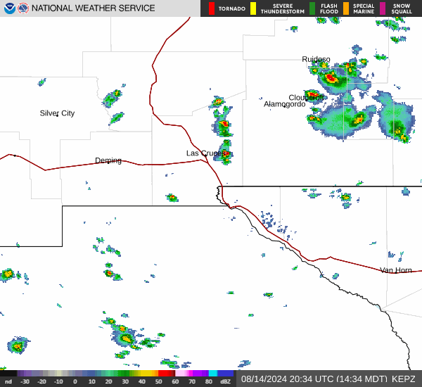
Today... Sunny, with a high near 57. Breezy, with a southwest wind 8 to 18 mph increasing to 19 to 29 mph in the afternoon. Winds could gust as high as 41 mph. |
|
Tonight... A slight chance of rain and snow showers between 8pm and 9pm, then a chance of snow showers. Partly cloudy, with a low around 29. Breezy, with a southwest wind 18 to 25 mph, with gusts as high as 39 mph. Chance of precipitation is 30%. New snow accumulation of less than a half inch possible. |
|
Saturday... A 30 percent chance of snow showers, mainly between 7am and 4pm. Some thunder is also possible. Partly sunny, with a high near 46. Breezy, with a southwest wind 20 to 23 mph, with gusts as high as 31 mph. New snow accumulation of less than a half inch possible. |
 |
Saturday Night... Partly cloudy, with a low around 29. West wind 15 to 17 mph, with gusts as high as 25 mph. |
|
Sunday... Mostly sunny, with a high near 57. West wind 15 to 18 mph, with gusts as high as 26 mph. |
 |
Sunday Night... Mostly clear, with a low around 32. West wind 9 to 16 mph, with gusts as high as 24 mph. |
|
Monday... Sunny, with a high near 66. Southwest wind 7 to 14 mph, with gusts as high as 21 mph. |
 |
Monday Night... Clear, with a low around 36. Southwest wind 7 to 13 mph, with gusts as high as 20 mph. |
|
Tuesday... Sunny, with a high near 69. Southwest wind 8 to 16 mph, with gusts as high as 24 mph. |
|
Tuesday Night... Mostly clear, with a low around 39. West wind 6 to 14 mph, with gusts as high as 21 mph. |
|
Wednesday... Sunny, with a high near 69. Southwest wind 7 to 14 mph, with gusts as high as 21 mph. |
|
Wednesday Night... Mostly clear, with a low around 38. West wind 7 to 13 mph, with gusts as high as 18 mph. |
|
Thursday... Sunny, with a high near 70. Southwest wind 8 to 15 mph, with gusts as high as 23 mph. |