No Watches or Warnings for Harlingen
Issued: 9:45 pm CDT Apr 25, 2024 Latitude: 26.1906306 Longitude: -97.6961026 View on Google Maps
|
|
|
|
|
|
|
|
|
|
 |
 |
 |
 |
|
 |
|
|
| Low: °F |
High: °F |
High: °F |
High: °F |
High: °F |
High: °F |
High: °F |
High: °F |
| Low: °F |
Low: °F |
Low: °F |
Low: °F |
Low: °F |
Low: °F |
|
| Mostly Cloudy |
Mostly Cloudy |
Partly Sunny |
Mostly Sunny |
Mostly Sunny |
Thunderstorms |
Partly Sunny |
Mostly Sunny |
Current Conditions at
HARLINGEN - (KHRL)
73°
Mostly Cloudy
as of 9:52 PM CDST
Rel. Humidity: 94%
Dew Point: 72°F
Visibility: 10 Miles
Pressure: 29.83 in.
Flight Rule: MVFR
Wind Data
16 MPH
150° Southeast
Cloud Level(s): Broken at 2100ft
Current Conditions at
PORT ISABEL - (KPIL)
77°
Mostly Cloudy
as of 9:53 PM CDST
Rel. Humidity: 88%
Dew Point: 73°F
Visibility: 9 Miles
Pressure: 29.84 in.
Flight Rule: MVFR
Wind Data
16 MPH
150° Southeast
Cloud Level(s): Scattered at 1700ft, Broken at 2100ft
Current Conditions at
BROWNSVILLE - (KBRO)
79°
Cloudy
as of 10:03 PM CDST
Rel. Humidity: 83%
Dew Point: 73°F
Visibility: 9 Miles
Pressure: 29.84 in.
Flight Rule: MVFR
Wind Data
12 MPH
140° Southeast
Cloud Level(s): Scattered at 1400ft, Solid Overcast at 2000ft
|
Tonight... Mostly cloudy, with a low around 74. Breezy, with a south southeast wind 18 to 21 mph, with gusts as high as 31 mph. |
|
|
Friday... Mostly cloudy, with a high near 88. Windy, with a south southeast wind 23 to 28 mph, with gusts as high as 43 mph. |
|
|
Friday Night... Mostly cloudy, with a low around 74. Breezy, with a south southeast wind 20 to 24 mph, with gusts as high as 37 mph. |
|
|
Saturday... Partly sunny, with a high near 91. Breezy, with a south southeast wind 18 to 26 mph, with gusts as high as 38 mph. |
|
|
Saturday Night... Mostly cloudy, with a low around 74. Breezy, with a southeast wind 21 to 24 mph, with gusts as high as 37 mph. |
|
|
Sunday... Mostly sunny, with a high near 93. Breezy, with a south southeast wind 16 to 22 mph, with gusts as high as 33 mph. |
|
 |
Sunday Night... Partly cloudy, with a low around 75. Southeast wind 14 to 16 mph, with gusts as high as 23 mph. |
|
|
Monday... Mostly sunny, with a high near 92. Southeast wind 14 to 17 mph, with gusts as high as 26 mph. |
|
 |
Monday Night... A 20 percent chance of showers and thunderstorms after 8pm. Mostly cloudy, with a low around 74. Southeast wind 14 to 16 mph, with gusts as high as 25 mph. |
|
|
Tuesday... A 20 percent chance of showers and thunderstorms. Mostly sunny, with a high near 91. Breezy, with a southeast wind 13 to 18 mph, with gusts as high as 29 mph. |
|
|
Tuesday Night... A 20 percent chance of showers and thunderstorms. Mostly cloudy, with a low around 74. Southeast wind 14 to 17 mph, with gusts as high as 28 mph. |
|
|
Wednesday... Partly sunny, with a high near 90. Breezy. |
|
|
Wednesday Night... Mostly cloudy, with a low around 73. Breezy. |
|
|
Thursday... Mostly sunny, with a high near 89. Breezy. |
|
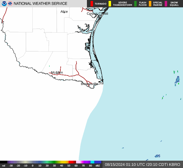
Current Radar Image
Sun Almanac for Harlingen, Texas
Sunrise: 06:58 AM
Sunset: 8:00 PM
Civil Sunrise:06:34 AM
Civil Sunset: 8:24 PM
Nautical Sunrise: 06:05 AM
Nautical Sunset: 8:52 PM
Astro Sunrise: 05:36 AM
Astro Sunset: 9:21 PM
Texas' Current Temperatures
 Texas' Satellite Image
 Texas' Current Wind Direction
| National Summary |
of upper and lower values of current conditions amongst 6163 locations
in the contiguous United States |
|
High
Temp |
86° |
Pecos, Texas
|
|
Low
Temp |
23° |
Berthoud Pass, Colorado
|
|
Wind
Speed |
36mph |
Oscar Madis, Colorado
|
|
Wind
Gust |
47mph |
Salina, Kansas
|
|
Wind
Chill |
7° |
Salida Mountain, Colorado
|
|
High
Pressure |
30.40Hg |
Massena, New York
and 1 other location
|
|
Low
Pressure |
29.44Hg |
Goodland, Kansas
|
|
| # Locations Reporting Snow |
2 |
|
| # Locations Reporting Rain |
113 |
|
| # Locations Reporting Thunderstorms / Lightning |
6 |
|
| # Locations Reporting Fog |
3 |
|
| Average Temperature in the Contiguous USA |
57° |
|
Any use of the information on this page is at your own risk. This information should not be relied upon in life-threatening situations, potential financial loss situations or in lieu of any officially disseminated information. Visit the
National Weather Service for official information.