No Watches or Warnings for Corva
Issued: 4:14 am MDT Apr 26, 2024 Latitude: 35.2752884 Longitude: -112.3493413 View on Google Maps
|
|
|
|
|
|
|
|
|
|
 |
 |
 |
 |
|
|
|
|
| High: °F |
Low: °F |
High: °F |
High: °F |
High: °F |
High: °F |
High: °F |
High: °F |
| Low: °F |
Low: °F |
Low: °F |
Low: °F |
Low: °F |
|
| Thunderstorms |
Rain & Snow |
Rain & Snow |
Sunny |
Sunny |
Sunny |
Sunny |
Sunny |
Current Conditions at
FLAGSTAFF - (KFLG)
30°
Clear
as of 6:57 AM MDST
Rel. Humidity: 86%
Dew Point: 27°F
Visibility: 10 Miles
Pressure: 29.92 in.
Flight Rule: VFR
Cloud Level(s): Clear
Current Conditions at
PRESCOTT - (KPRC)
45°
Clear
as of 6:53 AM MDST
Rel. Humidity: 65%
Dew Point: 34°F
Visibility: 10 Miles
Pressure: 29.89 in.
Flight Rule: VFR
Cloud Level(s): Clear
Current Conditions at
GRAND CANYON - (KGCN)
30°
Clear
as of 6:54 AM MDST
Rel. Humidity: 92%
Dew Point: 28°F
Visibility: 10 Miles
Pressure: 29.90 in.
Flight Rule: VFR
Cloud Level(s): Clear
Current Conditions at
KINGMAN - (KIGM)
52°
Clear
as of 6:51 AM MDST
Rel. Humidity: 50%
Dew Point: 34°F
Visibility: 10 Miles
Pressure: 29.78 in.
Flight Rule: VFR
Cloud Level(s): Clear
|
Today... A slight chance of showers between 2pm and 3pm, then a chance of showers and thunderstorms after 3pm. Increasing clouds, with a high near 57. Breezy, with a south wind 13 to 18 mph increasing to 23 to 28 mph in the afternoon. Winds could gust as high as 37 mph. Chance of precipitation is 50%. |
|
|
Tonight... Rain and snow showers likely. Some thunder is also possible. Mostly cloudy, with a low around 32. Breezy, with a southwest wind 18 to 23 mph decreasing to 11 to 16 mph after midnight. Winds could gust as high as 32 mph. Chance of precipitation is 70%. Little or no snow accumulation expected. |
|
|
Saturday... A chance of rain and snow showers before 10am, then a chance of rain showers between 10am and 5pm. Some thunder is also possible. Mostly cloudy, with a high near 55. Southwest wind 10 to 16 mph becoming west in the afternoon. Winds could gust as high as 22 mph. Chance of precipitation is 50%. Little or no snow accumulation expected. |
|
 |
Saturday Night... Mostly cloudy, then gradually becoming clear, with a low around 33. West wind 6 to 14 mph becoming south after midnight. Winds could gust as high as 20 mph. |
|
|
Sunday... Sunny, with a high near 64. South wind 8 to 13 mph becoming west in the afternoon. Winds could gust as high as 18 mph. |
|
 |
Sunday Night... Mostly clear, with a low around 35. West wind 6 to 13 mph becoming southeast after midnight. Winds could gust as high as 18 mph. |
|
|
Monday... Sunny, with a high near 69. Southeast wind 6 to 14 mph becoming southwest in the afternoon. Winds could gust as high as 21 mph. |
|
 |
Monday Night... Clear, with a low around 39. Southwest wind 5 to 14 mph becoming southeast after midnight. Winds could gust as high as 20 mph. |
|
|
Tuesday... Sunny, with a high near 73. Southeast wind 6 to 16 mph becoming southwest in the afternoon. Winds could gust as high as 24 mph. |
|
|
Tuesday Night... Clear, with a low around 41. Southwest wind 6 to 16 mph becoming southeast after midnight. Winds could gust as high as 23 mph. |
|
|
Wednesday... Sunny, with a high near 73. Southeast wind 7 to 13 mph becoming southwest in the afternoon. Winds could gust as high as 20 mph. |
|
|
Wednesday Night... Clear, with a low around 42. Southwest wind 6 to 13 mph becoming east after midnight. Winds could gust as high as 18 mph. |
|
|
Thursday... Sunny, with a high near 74. East wind 7 to 16 mph becoming southwest in the afternoon. Winds could gust as high as 23 mph. |
|
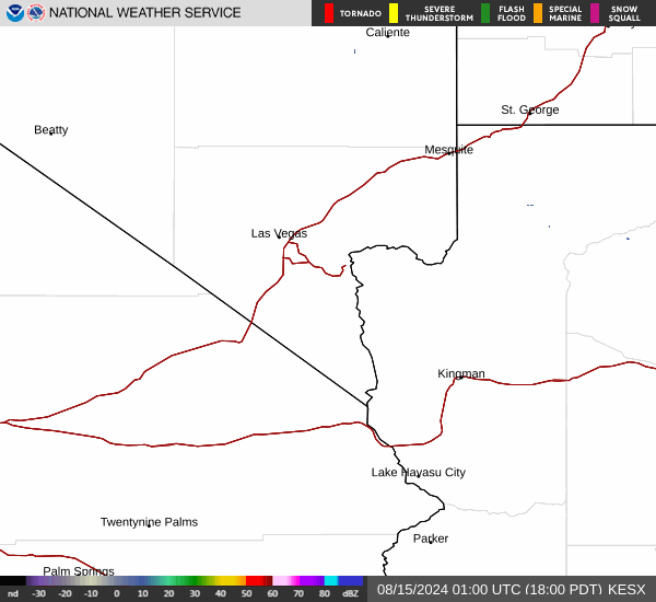
Current Radar Image
Sun Almanac for Corva, Arizona
Sunrise: 06:43 AM
Sunset: 8:12 PM
Civil Sunrise:06:16 AM
Civil Sunset: 8:38 PM
Nautical Sunrise: 05:43 AM
Nautical Sunset: 9:11 PM
Astro Sunrise: 05:10 AM
Astro Sunset: 9:45 PM
Arizona's Current Temperatures
 Arizona's Satellite Image
 Arizona's Current Wind Direction
| National Summary |
of upper and lower values of current conditions amongst 7085 locations
in the contiguous United States |
|
High
Temp |
81° |
Fort Lauderdale Intl, Florida
and 2 other locations
|
|
Low
Temp |
1° |
Imperial Beach NAS, California
|
|
Wind
Speed |
49mph |
Ottumwa, Iowa
|
|
Wind
Gust |
63mph |
Ottumwa, Iowa
|
|
Wind
Chill |
2° |
Berthoud Pass, Colorado
|
|
High
Pressure |
30.53Hg |
Montpelier, Vermont
|
|
Low
Pressure |
29.37Hg |
Broken Bow, Nebraska
and 2 other locations
|
|
| # Locations Reporting Snow |
7 |
|
| # Locations Reporting Rain |
172 |
|
| # Locations Reporting Thunderstorms / Lightning |
10 |
|
| # Locations Reporting Fog |
16 |
|
| Average Temperature in the Contiguous USA |
54° |
|
Any use of the information on this page is at your own risk. This information should not be relied upon in life-threatening situations, potential financial loss situations or in lieu of any officially disseminated information. Visit the
National Weather Service for official information.