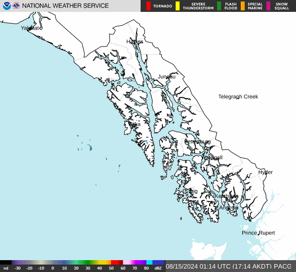
No Watches or Warnings for Calder
Issued: 3:11 pm AKDT Apr 25, 2024 Latitude: 56.1738889 Longitude: -133.4633333 View on Google Maps
|
|
|
|
|
|
|
|
|
|
 |
 |
 |
 |
 |
 |
 |
|
| High: °F |
Low: °F |
High: °F |
High: °F |
High: °F |
High: °F |
High: °F |
High: °F |
| Low: °F |
Low: °F |
Low: °F |
Low: °F |
Low: °F |
|
| Mostly Sunny |
Morning Fog |
Morning Fog |
Rain |
Rain |
Rain |
Rain |
Mostly Sunny |
Current Conditions at
KLAWOCK - (PAKW)
57°
Mostly Clear
as of 2:53 PM ADST
Rel. Humidity: 58%
Dew Point: 43°F
Visibility: 10 Miles
Pressure: 29.86 in.
Flight Rule: VFR
Cloud Level(s): Few at 4800ft
Current Conditions at
WRANGELL - (PAWG)
52°
Partly Cloudy
as of 2:55 PM ADST
Rel. Humidity: 62%
Dew Point: 39°F
Visibility: 10 Miles
Pressure: 29.92 in.
Flight Rule: VFR
Wind Data
3 MPH
230° Southwest
Cloud Level(s): Scattered at 7000ft
Current Conditions at
PETERSBURG - (PAPG)
52°
Mostly Cloudy
as of 2:56 PM ADST
Rel. Humidity: 62%
Dew Point: 39°F
Visibility: 10 Miles
Pressure: 29.94 in.
Flight Rule: VFR
Cloud Level(s): Broken at 4200ft
Current Conditions at
KAKE SEAPLANE - (PAFE)
48°
Partly Cloudy
as of 2:56 PM ADST
Rel. Humidity: 81%
Dew Point: 43°F
Visibility: 10 Miles
Pressure: 29.94 in.
Flight Rule: VFR
Cloud Level(s): Scattered at 3600ft
|
This Afternoon... Mostly sunny, with a high near 52. Northwest wind around 5 mph. |
|
|
Tonight... Patchy fog after 4am. Otherwise, partly cloudy, with a low around 39. Calm wind becoming northwest around 5 mph. |
|
|
Friday... Patchy fog before 7am. Otherwise, mostly sunny, with a high near 63. Calm wind becoming west around 5 mph. |
|
 |
Friday Night... Increasing clouds, with a low around 39. Southwest wind around 5 mph becoming calm. |
|
|
Saturday... A 40 percent chance of rain after 10am. Mostly cloudy, with a high near 52. Southeast wind 10 to 15 mph, with gusts as high as 35 mph. |
|
 |
Saturday Night... Rain likely. Cloudy, with a low around 37. Chance of precipitation is 70%. |
|
|
Sunday... Rain. High near 48. Chance of precipitation is 80%. |
|
 |
Sunday Night... Rain. Mostly cloudy, with a low around 37. |
|
|
Monday... Rain likely. Mostly cloudy, with a high near 50. |
|
 |
Monday Night... A chance of rain. Mostly cloudy, with a low around 38. |
|
|
Tuesday... A chance of rain. Partly sunny, with a high near 51. |
|
|
Tuesday Night... Mostly cloudy, with a low around 37. |
|
|
Wednesday... Mostly sunny, with a high near 57. |
|
Alaska's Current Temperatures
 Alaska's Satellite Image
 Alaska's Current Wind Direction
| National Summary |
of upper and lower values of current conditions amongst 6941 locations
in the contiguous United States |
|
High
Temp |
93° |
Wink, Texas
and 2 other locations
|
|
Low
Temp |
27° |
Salida Mountain, Colorado
and 1 other location
|
|
Wind
Speed |
38mph |
Elkhart, Kansas
|
|
Wind
Gust |
63mph |
Roswell, New Mexico
|
|
Wind
Chill |
9° |
Salida Mountain, Colorado
|
|
Heat
Index |
95° |
Laredo AFB, Texas
|
|
High
Pressure |
30.39Hg |
Williamson/Sodus, New York
|
|
Low
Pressure |
29.43Hg |
Lamar, Colorado
|
|
| # Locations Reporting Snow |
2 |
|
| # Locations Reporting Rain |
96 |
|
| # Locations Reporting Thunderstorms / Lightning |
14 |
|
| # Locations Reporting Fog |
2 |
|
| Average Temperature in the Contiguous USA |
64° |
|
Any use of the information on this page is at your own risk. This information should not be relied upon in life-threatening situations, potential financial loss situations or in lieu of any officially disseminated information. Visit the
National Weather Service for official information.