Artichoke, Minnesota Weather
|
|
|
|
|
|
|
|
 |
 |
 |
 |
 |
 |
 |
|
| Low: °F |
High: °F |
High: °F |
High: °F |
High: °F |
High: °F |
High: °F |
High: °F |
| Low: °F |
Low: °F |
Low: °F |
Low: °F |
Low: °F |
Low: °F |
|
| Rain |
Thunderstorms |
Thunderstorms |
Thunderstorms |
Mostly Cloudy |
Rain |
Mostly Sunny |
Rain |
Current Conditions at
APPLETON - (KAQP)
64°
Clear
as of 9:33 PM CDST
Rel. Humidity: 36%
Dew Point: 37°F
Visibility: 10 Miles
Pressure: 29.87 in.
Flight Rule: VFR
Wind Data
16 MPH
Gust: 24 MPH
150° Southeast
Cloud Level(s): Clear
Current Conditions at
ORTONVILLE - (KVVV)
63°
Clear
as of 9:35 PM CDST
Rel. Humidity: 48%
Dew Point: 43°F
Visibility: 10 Miles
Pressure: 29.84 in.
Flight Rule: VFR
Wind Data
16 MPH
Gust: 31 MPH
150° Southeast
Cloud Level(s): Clear
Current Conditions at
MORRIS MUNICIPAL - (KMOX)
63°
Clear
as of 9:35 PM CDST
Rel. Humidity: 42%
Dew Point: 39°F
Visibility: 10 Miles
Pressure: 29.86 in.
Flight Rule: VFR
Wind Data
24 MPH
Gust: 30 MPH
160° South
Cloud Level(s): Clear
Current Conditions at
WHEATON NDB - (KETH)
63°
Clear
as of 9:33 PM CDST
Rel. Humidity: 42%
Dew Point: 39°F
Visibility: 10 Miles
Pressure: 29.86 in.
Flight Rule: VFR
Wind Data
18 MPH
Gust: 28 MPH
160° South
Cloud Level(s): Clear
|
Tonight... A chance of showers, mainly after 4am. Mostly cloudy, with a low around 47. Breezy, with a southeast wind 16 to 23 mph, with gusts as high as 36 mph. Chance of precipitation is 50%. |
|
|
Friday... Showers and possibly a thunderstorm. High near 56. Breezy, with a southeast wind 20 to 24 mph, with gusts as high as 34 mph. Chance of precipitation is 90%. New rainfall amounts between a quarter and half of an inch possible. |
|
 |
Friday Night... Showers and possibly a thunderstorm. Low around 47. Breezy, with an east southeast wind 11 to 20 mph becoming north after midnight. Winds could gust as high as 28 mph. Chance of precipitation is 100%. New rainfall amounts between a quarter and half of an inch possible. |
|
|
Saturday... A chance of showers and thunderstorms before 1pm, then a slight chance of showers. Cloudy, with a high near 56. North northwest wind 14 to 18 mph. Chance of precipitation is 50%. |
|
 |
Saturday Night... A slight chance of showers after 1am. Cloudy, with a low around 41. North wind 13 to 15 mph. Chance of precipitation is 20%. |
|
|
Sunday... Showers before 1pm, then showers and possibly a thunderstorm between 1pm and 4pm, then showers after 4pm. High near 49. Northeast wind 14 to 18 mph, with gusts as high as 28 mph. Chance of precipitation is 80%. New rainfall amounts between three quarters and one inch possible. |
|
 |
Sunday Night... Showers likely, mainly before 1am. Cloudy, with a low around 39. North northeast wind 13 to 15 mph becoming northwest after midnight. Winds could gust as high as 23 mph. Chance of precipitation is 60%. |
|
|
Monday... Mostly cloudy, with a high near 56. West northwest wind 14 to 16 mph, with gusts as high as 24 mph. |
|
 |
Monday Night... Partly cloudy, with a low around 42. West wind 9 to 11 mph becoming south southeast after midnight. |
|
|
Tuesday... A slight chance of showers after 1pm. Mostly sunny, with a high near 68. Chance of precipitation is 20%. |
|
|
Tuesday Night... A slight chance of showers. Mostly clear, with a low around 44. Chance of precipitation is 20%. |
|
|
Wednesday... Mostly sunny, with a high near 67. |
|
|
Wednesday Night... A slight chance of showers. Mostly clear, with a low around 42. Chance of precipitation is 20%. |
|
|
Thursday... A slight chance of showers. Sunny, with a high near 68. Chance of precipitation is 20%. |
|
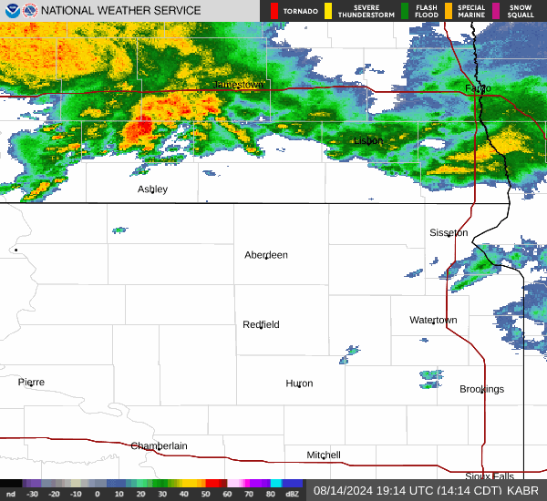
Current Radar Image
Sun Almanac for Artichoke, Minnesota
Sunrise: 06:21 AM
Sunset: 8:24 PM
Civil Sunrise:05:49 AM
Civil Sunset: 8:56 PM
Nautical Sunrise: 05:09 AM
Nautical Sunset: 9:36 PM
Astro Sunrise: 04:26 AM
Astro Sunset: 10:19 PM
Minnesota's Current Temperatures
 Minnesota's Satellite Image
 Minnesota's Current Wind Direction
| National Summary |
of upper and lower values of current conditions amongst 6889 locations
in the contiguous United States |
|
High
Temp |
88° |
Pecos, Texas
|
|
Low
Temp |
23° |
Berthoud Pass, Colorado
|
|
Wind
Speed |
36mph |
Oscar Madis, Colorado
|
|
Wind
Gust |
47mph |
Salina, Kansas
|
|
Wind
Chill |
11° |
Dakota Hill, Colorado
|
|
High
Pressure |
30.40Hg |
Massena, New York
and 1 other location
|
|
Low
Pressure |
29.44Hg |
Goodland, Kansas
|
|
| # Locations Reporting Snow |
3 |
|
| # Locations Reporting Rain |
106 |
|
| # Locations Reporting Thunderstorms / Lightning |
11 |
|
| # Locations Reporting Fog |
1 |
|
| Average Temperature in the Contiguous USA |
57° |
|
Any use of the information on this page is at your own risk. This information should not be relied upon in life-threatening situations, potential financial loss situations or in lieu of any officially disseminated information. Visit the
National Weather Service for official information.