Williamson, Arizona Weather
No Watches or Warnings for Williamson
Issued: 9:32 pm MST Apr 24, 2024 Latitude: 34.690023 Longitude: -112.5410052 View on Google Maps
|
|
|
|
|
|
|
|
|
|
 |
 |
 |
 |
 |
|
|
|
| Low: °F |
High: °F |
High: °F |
High: °F |
High: °F |
High: °F |
High: °F |
High: °F |
| Low: °F |
Low: °F |
Low: °F |
Low: °F |
Low: °F |
Low: °F |
|
| Increasing Clouds |
Thunderstorms |
Mostly Sunny |
Partly Sunny |
Sunny |
Sunny |
Sunny |
Sunny |
Current Conditions at
PRESCOTT - (KPRC)
54°
Clear
as of 11:53 PM MDST
Rel. Humidity: 34%
Dew Point: 27°F
Visibility: 10 Miles
Pressure: 30.00 in.
Flight Rule: VFR
Wind Data
8 MPH
220° Southwest
Cloud Level(s): Clear
Current Conditions at
FLAGSTAFF - (KFLG)
50°
Clear
as of 11:57 PM MDST
Rel. Humidity: 29%
Dew Point: 19°F
Visibility: 10 Miles
Pressure: 30.07 in.
Flight Rule: VFR
Cloud Level(s): Clear
Current Conditions at
DEER VLY/PHOENIX - (KDVT)
73°
Clear
as of 11:53 PM MDST
Rel. Humidity: 25%
Dew Point: 36°F
Visibility: 10 Miles
Pressure: 29.85 in.
Flight Rule: VFR
Cloud Level(s): Clear
Current Conditions at
LUKE AFB - (KLUF)
77°
Clear
as of 11:55 PM MDST
Rel. Humidity: 20%
Dew Point: 34°F
Visibility: 10 Miles
Pressure: 29.81 in.
Flight Rule: VFR
Wind Data
12 MPH
210° Southwest
Cloud Level(s): Clear
|
Tonight... Increasing clouds, with a low around 41. South wind 7 to 10 mph, with gusts as high as 15 mph. |
|
|
Thursday... A 30 percent chance of showers and thunderstorms before 11am. Cloudy through mid morning, then gradual clearing, with a high near 64. Southwest wind 9 to 14 mph increasing to 15 to 20 mph in the afternoon. Winds could gust as high as 32 mph. |
|
 |
Thursday Night... Mostly clear, with a low around 40. Southwest wind 9 to 15 mph, with gusts as high as 24 mph. |
|
|
Friday... Mostly sunny, with a high near 64. Breezy, with a south wind 11 to 16 mph increasing to 18 to 23 mph in the afternoon. Winds could gust as high as 37 mph. |
|
 |
Friday Night... A 50 percent chance of showers. Mostly cloudy, with a low around 40. Southwest wind 13 to 20 mph, with gusts as high as 32 mph. |
|
|
Saturday... A 20 percent chance of showers. Partly sunny, with a high near 63. Southwest wind 13 to 16 mph, with gusts as high as 26 mph. |
|
|
Saturday Night... Mostly clear, with a low around 39. West wind 11 to 15 mph becoming south after midnight. Winds could gust as high as 23 mph. |
|
|
Sunday... Sunny, with a high near 71. Southwest wind 10 to 14 mph, with gusts as high as 22 mph. |
|
 |
Sunday Night... Clear, with a low around 42. Southwest wind 8 to 11 mph becoming east after midnight. Winds could gust as high as 20 mph. |
|
|
Monday... Sunny, with a high near 76. East wind 8 to 13 mph becoming southwest in the afternoon. Winds could gust as high as 21 mph. |
|
|
Monday Night... Clear, with a low around 46. Southwest wind 8 to 11 mph becoming east after midnight. Winds could gust as high as 18 mph. |
|
|
Tuesday... Sunny, with a high near 79. Southeast wind 9 to 16 mph becoming southwest in the afternoon. Winds could gust as high as 26 mph. |
|
|
Tuesday Night... Mostly clear, with a low around 48. Southwest wind 10 to 15 mph, with gusts as high as 23 mph. |
|
|
Wednesday... Sunny, with a high near 79. South wind 8 to 18 mph, with gusts as high as 28 mph. |
|
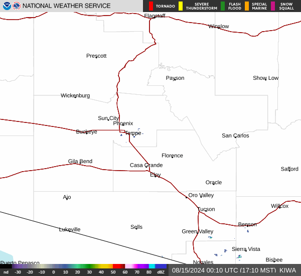
Current Radar Image
Sun Almanac for Williamson, Arizona
Sunrise: 06:45 AM
Sunset: 8:11 PM
Civil Sunrise:06:19 AM
Civil Sunset: 8:37 PM
Nautical Sunrise: 05:47 AM
Nautical Sunset: 9:09 PM
Astro Sunrise: 05:14 AM
Astro Sunset: 9:42 PM
Arizona's Current Temperatures
 Arizona's Satellite Image
 Arizona's Current Wind Direction
| National Summary |
of upper and lower values of current conditions amongst 7049 locations
in the contiguous United States |
|
High
Temp |
81° |
Phoenix, Arizona
and 2 other locations
|
|
Low
Temp |
-33° |
Front Royal, Virginia
|
|
Wind
Speed |
28mph |
Midland, Texas
|
|
Wind
Gust |
41mph |
El Centro, California
|
|
Wind
Chill |
4° |
Greenville, Maine
and 1 other location
|
|
High
Pressure |
30.37Hg |
Salida Mountain, Colorado
|
|
Low
Pressure |
29.69Hg |
Roundup, Montana
|
|
| # Locations Reporting Snow |
1 |
|
| # Locations Reporting Rain |
16 |
|
| # Locations Reporting Fog |
8 |
|
| Average Temperature in the Contiguous USA |
52° |
|
Any use of the information on this page is at your own risk. This information should not be relied upon in life-threatening situations, potential financial loss situations or in lieu of any officially disseminated information. Visit the
National Weather Service for official information.