No Watches or Warnings for Spofford
Issued: 1:28 am CDT Apr 24, 2024 Latitude: 29.1752389 Longitude: -100.4136881 View on Google Maps
|
|
|
|
|
|
|
|
|
|
 |
 |
 |
|
|
|
 |
 |
| High: °F |
Low: °F |
High: °F |
High: °F |
High: °F |
High: °F |
High: °F |
High: °F |
| Low: °F |
Low: °F |
Low: °F |
Low: °F |
Low: °F |
|
| Mostly Sunny |
Increasing Clouds |
Mostly Cloudy |
Mostly Sunny |
Mostly Sunny |
Mostly Sunny |
Thunderstorms |
Partly Sunny |
Current Conditions at
LAUGHLIN AFB - (KDLF)
73°
Cloudy
as of 4:10 AM CDST
Rel. Humidity: 83%
Dew Point: 68°F
Visibility: 10 Miles
Pressure: 29.93 in.
Flight Rule: MVFR
Wind Data
13 MPH
120° Southeast
Cloud Level(s): Broken at 1200ft, Broken at 2600ft, Solid Overcast at 3400ft
Current Conditions at
DEL RIO - (KDRT)
73°
Cloudy
as of 3:53 AM CDST
Rel. Humidity: 78%
Dew Point: 66°F
Visibility: 10 Miles
Pressure: 29.95 in.
Flight Rule: VFR
Wind Data
12 MPH
120° Southeast
Cloud Level(s): Solid Overcast at 3600ft
Current Conditions at
GARNER FLD A - (KUVA)
72°
Cloudy
as of 4:35 AM CDST
Rel. Humidity: 100%
Dew Point: 72°F
Visibility: 10 Miles
Pressure: 30.01 in.
Flight Rule: MVFR
Wind Data
6 MPH
140° Southeast
Cloud Level(s): Solid Overcast at 1100ft
Current Conditions at
ROCKSPRINGS/EDWARDS - (KECU)
66°
Cloudy
Mist
as of 4:35 AM CDST
Rel. Humidity: 100%
Dew Point: 66°F
Visibility: 6 Miles
Pressure: 30.06 in.
Flight Rule: LIFR
Wind Data
13 MPH
Gust: 20 MPH
170° South
Cloud Level(s): Broken at 400ft, Solid Overcast at 800ft
|
Today... Cloudy, then gradually becoming mostly sunny, with a high near 89. Southeast wind 10 to 15 mph, with gusts as high as 20 mph. |
|
|
Tonight... Increasing clouds, with a low around 71. Southeast wind around 15 mph, with gusts as high as 25 mph. |
|
|
Thursday... Mostly cloudy, with a high near 90. Southeast wind around 15 mph, with gusts as high as 25 mph. |
|
|
Thursday Night... Mostly cloudy, with a low around 70. Southeast wind 15 to 20 mph, with gusts as high as 30 mph. |
|
|
Friday... Mostly sunny, with a high near 94. Southeast wind 5 to 10 mph. |
|
 |
Friday Night... Mostly clear, with a low around 69. East southeast wind 10 to 15 mph increasing to 15 to 20 mph after midnight. Winds could gust as high as 30 mph. |
|
|
Saturday... Mostly sunny, with a high near 98. South southeast wind around 15 mph, with gusts as high as 25 mph. |
|
 |
Saturday Night... A 30 percent chance of showers and thunderstorms after 1am. Mostly clear, with a low around 69. Southeast wind 15 to 20 mph, with gusts as high as 30 mph. |
|
|
Sunday... Mostly sunny, with a high near 93. East northeast wind 10 to 15 mph becoming north in the afternoon. Winds could gust as high as 20 mph. |
|
|
Sunday Night... Mostly clear, with a low around 68. |
|
|
Monday... A 20 percent chance of showers and thunderstorms. Mostly sunny, with a high near 93. |
|
 |
Monday Night... A 20 percent chance of showers and thunderstorms. Partly cloudy, with a low around 69. |
|
|
Tuesday... Partly sunny, with a high near 90. |
|
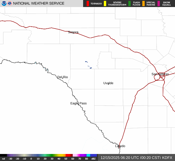
Current Radar Image
Sun Almanac for Spofford, Texas
Sunrise: 07:06 AM
Sunset: 8:14 PM
Civil Sunrise:06:41 AM
Civil Sunset: 8:39 PM
Nautical Sunrise: 06:11 AM
Nautical Sunset: 9:08 PM
Astro Sunrise: 05:41 AM
Astro Sunset: 9:38 PM
Texas' Current Temperatures
 Texas' Satellite Image
 Texas' Current Wind Direction
| National Summary |
of upper and lower values of current conditions amongst 6256 locations
in the contiguous United States |
|
High
Temp |
79° |
Lake Havasu City, Arizona
and 1 other location
|
|
Low
Temp |
-27° |
Front Royal, Virginia
|
|
Wind
Speed |
30mph |
Port Hope, Michigan
|
|
Wind
Gust |
41mph |
Port Hope, Michigan
|
|
Wind
Chill |
12° |
Sault Ste Marie, Michigan
|
|
High
Pressure |
30.43Hg |
Salida Mountain, Colorado
|
|
Low
Pressure |
29.18Hg |
Ottawa, Ohio
|
|
| # Locations Reporting Snow |
2 |
|
| # Locations Reporting Rain |
44 |
|
| # Locations Reporting Fog |
22 |
|
| Average Temperature in the Contiguous USA |
49° |
|
Any use of the information on this page is at your own risk. This information should not be relied upon in life-threatening situations, potential financial loss situations or in lieu of any officially disseminated information. Visit the
National Weather Service for official information.