No Watches or Warnings for Seneca
Issued: 12:22 pm MST Apr 19, 2024 Latitude: 33.7567174 Longitude: -110.512884 View on Google Maps
|
|
|
|
|
|
|
|
|
|
 |
 |
|
|
|
|
|
|
| Low: °F |
High: °F |
High: °F |
High: °F |
High: °F |
High: °F |
High: °F |
High: °F |
| Low: °F |
Low: °F |
Low: °F |
Low: °F |
Low: °F |
Low: °F |
|
| Mostly Clear |
Sunny |
Sunny |
Sunny |
Sunny |
Sunny |
Sunny |
Sunny |
Current Conditions at
SHOW LOW - (KSOW)
73°
Clear
as of 3:55 PM MDST
Rel. Humidity: 11%
Dew Point: 16°F
Visibility: 10 Miles
Pressure: 30.03 in.
Flight Rule: VFR
Wind Data
14 MPH
Gust: 28 MPH
220° Southwest
Cloud Level(s): Clear
Current Conditions at
MESA WILLIAMS GATEWAY - (KIWA)
91°
Clear
as of 3:47 PM MDST
Rel. Humidity: 9%
Dew Point: 25°F
Visibility: 10 Miles
Pressure: 29.80 in.
Flight Rule: VFR
Wind Data
14 MPH
Gust: 22 MPH
240° Southwest
Cloud Level(s): Clear
Current Conditions at
SAFFORD - (KSAD)
90°
Clear
as of 3:51 PM MDST
Rel. Humidity: 6%
Dew Point: 14°F
Visibility: 10 Miles
Pressure: 29.82 in.
Flight Rule: VFR
Wind Data
7 MPH
Gust: 21 MPH
Cloud Level(s): Clear
Current Conditions at
CHANDLER MUNI ARPT - (KCHD)
91°
Clear
as of 3:47 PM MDST
Rel. Humidity: 6%
Dew Point: 18°F
Visibility: 10 Miles
Pressure: 29.78 in.
Flight Rule: VFR
Cloud Level(s): Clear
|
Tonight... Mostly clear, with a low around 49. West southwest wind 5 to 10 mph becoming south after midnight. |
|
|
Saturday... Sunny, with a high near 77. Light and variable wind becoming west 5 to 10 mph in the morning. |
|
 |
Saturday Night... Clear, with a low around 49. West southwest wind 5 to 10 mph becoming east northeast after midnight. |
|
|
Sunday... Sunny, with a high near 81. East wind 5 to 10 mph becoming south southwest in the afternoon. |
|
|
Sunday Night... Clear, with a low around 52. Southwest wind around 5 mph becoming east northeast in the evening. |
|
|
Monday... Sunny, with a high near 81. Breezy, with an east southeast wind 5 to 15 mph becoming southwest in the afternoon. Winds could gust as high as 20 mph. |
|
|
Monday Night... Clear, with a low around 50. West wind 5 to 10 mph becoming east in the evening. Winds could gust as high as 20 mph. |
|
|
Tuesday... Sunny, with a high near 79. Breezy, with an east southeast wind 5 to 15 mph becoming southwest in the afternoon. Winds could gust as high as 25 mph. |
|
|
Tuesday Night... Mostly clear, with a low around 50. Breezy, with a west southwest wind 5 to 15 mph becoming east southeast after midnight. Winds could gust as high as 20 mph. |
|
|
Wednesday... Sunny, with a high near 77. Breezy, with a south southeast wind 5 to 15 mph becoming southwest in the afternoon. Winds could gust as high as 30 mph. |
|
|
Wednesday Night... Mostly clear, with a low around 47. Breezy, with a west southwest wind 5 to 15 mph becoming south southeast after midnight. Winds could gust as high as 25 mph. |
|
|
Thursday... Sunny, with a high near 72. Breezy, with a southwest wind 10 to 15 mph increasing to 15 to 20 mph in the afternoon. Winds could gust as high as 30 mph. |
|
|
Thursday Night... Mostly clear, with a low around 45. Breezy, with a west southwest wind 5 to 15 mph becoming south after midnight. Winds could gust as high as 25 mph. |
|
|
Friday... Sunny, with a high near 69. Breezy, with a southwest wind 10 to 15 mph increasing to 15 to 20 mph in the afternoon. Winds could gust as high as 30 mph. |
|
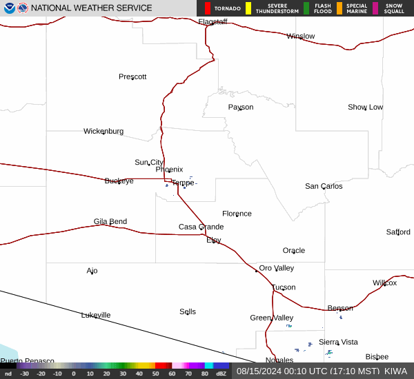
Current Radar Image
Sun Almanac for Seneca, Arizona
Sunrise: 06:45 AM
Sunset: 7:57 PM
Civil Sunrise:06:20 AM
Civil Sunset: 8:22 PM
Nautical Sunrise: 05:49 AM
Nautical Sunset: 8:53 PM
Astro Sunrise: 05:17 AM
Astro Sunset: 9:25 PM
Arizona's Current Temperatures
 Arizona's Satellite Image
 Arizona's Current Wind Direction
| National Summary |
of upper and lower values of current conditions amongst 5166 locations
in the contiguous United States |
|
High
Temp |
95° |
Zapata Cnty A/P, Texas
|
|
Low
Temp |
21° |
Perryton, Texas
and 2 other locations
|
|
Wind
Speed |
40mph |
Salida Mountain, Colorado
|
|
Wind
Gust |
47mph |
Salida Mountain, Colorado
|
|
Wind
Chill |
15° |
Rolla Municipal A/P, North Dakota
|
|
Heat
Index |
104° |
Falfurrias, Texas
|
|
High
Pressure |
30.43Hg |
Malta, Montana
and 1 other location
|
|
Low
Pressure |
29.74Hg |
Borrego Springs, California
|
|
| # Locations Reporting Snow |
20 |
|
| # Locations Reporting Rain |
18 |
|
| # Locations Reporting Thunderstorms / Lightning |
1 |
|
| Average Temperature in the Contiguous USA |
61° |
|
Any use of the information on this page is at your own risk. This information should not be relied upon in life-threatening situations, potential financial loss situations or in lieu of any officially disseminated information. Visit the
National Weather Service for official information.