| your sport, your way | ||||
 |  |  |  |  |
|

| This Afternoon | Tonight | Friday | Saturday | Sunday | Monday | Tuesday | Wednesday |
 |
 |
 |
 |
 |
 |
 |
 |
| High: 65°F | Low: 51°F | High: 63°F | High: 57°F | High: 48°F | High: 63°F | High: 74°F | High: 74°F |
| Low: 48°F | Low: 41°F | Low: 36°F | Low: 44°F | Low: 47°F | |||
| Thunderstorms | Thunderstorms | Thunderstorms | Rain | Thunderstorms | Mostly Sunny | Rain | Thunderstorms |

|
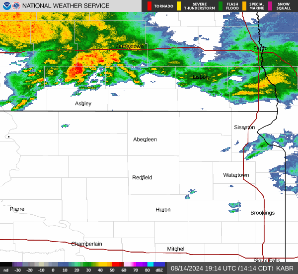
This Afternoon... A 40 percent chance of showers and thunderstorms, mainly after 2pm. Mostly cloudy, with a high near 65. Breezy, with a southeast wind around 20 mph, with gusts as high as 35 mph. |
|
Tonight... A chance of showers and thunderstorms, then showers and possibly a thunderstorm after 10pm. Low around 51. Breezy, with an east southeast wind 15 to 20 mph, with gusts as high as 40 mph. Chance of precipitation is 90%. |
|
Friday... Showers and possibly a thunderstorm. High near 63. East southeast wind around 15 mph, with gusts as high as 30 mph. Chance of precipitation is 90%. |
 |
Friday Night... Showers likely and possibly a thunderstorm before 1am, then a slight chance of showers and thunderstorms between 1am and 4am, then a slight chance of showers after 4am. Mostly cloudy, with a low around 48. North northeast wind 10 to 15 mph becoming west northwest after midnight. Winds could gust as high as 20 mph. Chance of precipitation is 60%. |
|
Saturday... A 30 percent chance of showers, mainly after 1pm. Mostly cloudy, with a high near 57. North wind 10 to 15 mph. |
 |
Saturday Night... A chance of showers, then showers and possibly a thunderstorm after 1am. Low around 41. Breezy. Chance of precipitation is 80%. |
|
Sunday... Showers and possibly a thunderstorm before 1pm, then a chance of showers and thunderstorms after 1pm. High near 48. Breezy. Chance of precipitation is 80%. |
 |
Sunday Night... A chance of showers before 1am. Mostly cloudy, with a low around 36. |
|
Monday... Mostly sunny, with a high near 63. |
 |
Monday Night... Mostly clear, with a low around 44. |
|
Tuesday... A slight chance of showers. Sunny, with a high near 74. |
 |
Tuesday Night... A slight chance of showers. Mostly clear, with a low around 47. |
|
Wednesday... A slight chance of showers and thunderstorms. Mostly sunny, with a high near 74. |