No Watches or Warnings for Atwood
Issued: 4:06 am PDT Apr 24, 2024 Latitude: 38.7479799 Longitude: -117.8562235 View on Google Maps
|
|
|
|
|
|
|
|
|
|
 |
 |
 |
 |
 |
 |
|
|
| High: °F |
Low: °F |
High: °F |
High: °F |
High: °F |
High: °F |
High: °F |
High: °F |
| Low: °F |
Low: °F |
Low: °F |
Low: °F |
Low: °F |
|
| Thunderstorms |
Thunderstorms |
Snow |
Rain & Snow |
Mostly Sunny |
Sunny |
Sunny |
Sunny |
Current Conditions at
TONOPAH - (KTPH)
55°
Clear
as of 8:56 AM PDST
Rel. Humidity: 47%
Dew Point: 36°F
Visibility: 10 Miles
Pressure: 30.00 in.
Flight Rule: VFR
Cloud Level(s): Clear
Current Conditions at
FALLON NAS - (KNFL)
57°
Mostly Cloudy
as of 8:56 AM PDST
Rel. Humidity: 62%
Dew Point: 45°F
Visibility: 10 Miles
Pressure: 29.99 in.
Flight Rule: VFR
Cloud Level(s): Few at 4500ft, Broken at 11000ft, Broken at 17000ft
Current Conditions at
LOVELOCK - (KLOL)
54°
Clear
as of 8:53 AM PDST
Rel. Humidity: 87%
Dew Point: 50°F
Visibility: 10 Miles
Pressure: 29.98 in.
Flight Rule: VFR
Cloud Level(s): Clear
Current Conditions at
BISHOP - (KBIH)
66°
Clear
as of 8:56 AM PDST
Rel. Humidity: 37%
Dew Point: 39°F
Visibility: 10 Miles
Pressure: 29.94 in.
Flight Rule: VFR
Cloud Level(s): Clear
|
Today... Scattered showers and thunderstorms before 2pm, then showers likely and possibly a thunderstorm between 2pm and 5pm, then scattered showers and thunderstorms after 5pm. Mostly cloudy, with a high near 61. Northwest wind 10 to 15 mph. Chance of precipitation is 60%. |
|
|
Tonight... Showers and thunderstorms likely before 2am, then scattered showers. Snow level 9000 feet lowering to 8300 feet after midnight . Cloudy, with a low around 42. Northwest wind around 15 mph. Chance of precipitation is 60%. |
|
|
Thursday... Scattered showers, mainly before 8am. Snow level 8100 feet. Partly sunny, with a high near 61. Northwest wind 10 to 20 mph. Chance of precipitation is 30%. |
|
|
Thursday Night... Scattered showers after 11pm. Snow level 8500 feet lowering to 7300 feet after midnight . Mostly cloudy, with a low around 39. Northwest wind 15 to 20 mph, with gusts as high as 30 mph. Chance of precipitation is 30%. |
|
|
Friday... Rain showers likely before 8am, then rain and snow showers likely between 8am and 11am, then rain showers likely after 11am. Some thunder is also possible. Snow level 6700 feet. Mostly cloudy, with a high near 53. Breezy, with a northwest wind 10 to 15 mph increasing to 20 to 25 mph in the afternoon. Chance of precipitation is 70%. Little or no snow accumulation expected. |
|
 |
Friday Night... Some thunder is also possible. Snow level 6500 feet. Partly cloudy, with a low around 36. Breezy. |
|
|
Saturday... Mostly sunny, with a high near 57. |
|
 |
Saturday Night... Mostly clear, with a low around 39. |
|
|
Sunday... Sunny, with a high near 64. |
|
|
Sunday Night... Mostly clear, with a low around 42. |
|
|
Monday... Sunny, with a high near 69. |
|
|
Monday Night... Mostly clear, with a low around 44. |
|
|
Tuesday... Sunny, with a high near 70. |
|
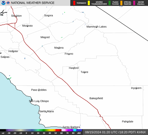
Current Radar Image
Sun Almanac for Atwood, Nevada
Sunrise: 06:01 AM
Sunset: 7:37 PM
Civil Sunrise:05:33 AM
Civil Sunset: 8:06 PM
Nautical Sunrise: 04:59 AM
Nautical Sunset: 8:40 PM
Astro Sunrise: 04:23 AM
Astro Sunset: 9:16 PM
Nevada's Current Temperatures
 Nevada's Satellite Image
 Nevada's Current Wind Direction
| National Summary |
of upper and lower values of current conditions amongst 7154 locations
in the contiguous United States |
|
High
Temp |
84° |
Brownsville, Texas
and 1 other location
|
|
Low
Temp |
-31° |
Front Royal, Virginia
|
|
Wind
Speed |
31mph |
Pine Ridge, South Dakota
and 1 other location
|
|
Wind
Gust |
46mph |
Burlington, Vermont
|
|
Wind
Chill |
-57° |
Front Royal, Virginia
|
|
High
Pressure |
30.44Hg |
Pagosa Springs, Colorado
|
|
Low
Pressure |
29.68Hg |
Clayton Lake, Maine
|
|
| # Locations Reporting Snow |
2 |
|
| # Locations Reporting Rain |
57 |
|
| # Locations Reporting Thunderstorms / Lightning |
1 |
|
| Average Temperature in the Contiguous USA |
60° |
|
Any use of the information on this page is at your own risk. This information should not be relied upon in life-threatening situations, potential financial loss situations or in lieu of any officially disseminated information. Visit the
National Weather Service for official information.