No Watches or Warnings for Zapata
Issued: 5:30 pm CDT Apr 24, 2024 Latitude: 26.9072605 Longitude: -99.2714255 View on Google Maps
|
|
|
|
|
|
|
|
|
|
 |
 |
|
|
 |
 |
 |
|
| Low: °F |
High: °F |
High: °F |
High: °F |
High: °F |
High: °F |
High: °F |
High: °F |
| Low: °F |
Low: °F |
Low: °F |
Low: °F |
Low: °F |
Low: °F |
|
| Increasing Clouds |
Partly Sunny |
Partly Sunny |
Partly Sunny |
Mostly Sunny |
Thunderstorms |
Thunderstorms |
Thunderstorms |
Current Conditions at
JIM HOGG - (KHBV)
Cloudy
as of 5:10 PM CDST
Rel. Humidity: 55%
Dew Point: 68°F
Visibility: 10 Miles
Pressure: 29.96 in.
Flight Rule: VFR
Wind Data
12 MPH
150° Southeast
Cloud Level(s): Scattered at 4300ft, Scattered at 5000ft, Solid Overcast at 5500ft
Current Conditions at
LAREDO AFB - (KLRD)
Cloudy
as of 4:56 PM CDST
Rel. Humidity: 55%
Dew Point: 70°F
Visibility: 10 Miles
Pressure: 29.93 in.
Flight Rule: VFR
Wind Data
14 MPH
Gust: 22 MPH
120° Southeast
Cloud Level(s): Few at 4000ft, Solid Overcast at 5500ft
Current Conditions at
FALFURRIAS - (KBKS)
Cloudy
as of 5:15 PM CDST
Rel. Humidity: 58%
Dew Point: 70°F
Visibility: 10 Miles
Pressure: 29.94 in.
Flight Rule: VFR
Wind Data
13 MPH
Gust: 23 MPH
120° Southeast
Cloud Level(s): Few at 4300ft, Solid Overcast at 6000ft
Current Conditions at
EDINBURG INTL ARPT - (KEBG)
Cloudy
as of 5:15 PM CDST
Rel. Humidity: 55%
Dew Point: 70°F
Visibility: 10 Miles
Pressure: 29.93 in.
Flight Rule: VFR
Wind Data
21 MPH
130° Southeast
Cloud Level(s): Scattered at 4200ft, Solid Overcast at 6000ft
|
Tonight... Increasing clouds, with a low around 72. Southeast wind 13 to 17 mph, with gusts as high as 24 mph. |
|
|
Thursday... Partly sunny, with a high near 94. Breezy, with a south southeast wind 14 to 18 mph, with gusts as high as 25 mph. |
|
|
Thursday Night... Mostly cloudy, with a low around 73. Breezy, with a southeast wind 18 to 24 mph, with gusts as high as 33 mph. |
|
|
Friday... Partly sunny, with a high near 95. South southeast wind 8 to 16 mph, with gusts as high as 24 mph. |
|
 |
Friday Night... Partly cloudy, with a low around 73. Breezy, with a southeast wind 10 to 20 mph, with gusts as high as 29 mph. |
|
|
Saturday... Partly sunny, then gradually becoming sunny, with a high near 99. Breezy, with a southeast wind 13 to 22 mph, with gusts as high as 32 mph. |
|
 |
Saturday Night... Mostly clear, with a low around 74. Breezy, with a southeast wind 18 to 23 mph, with gusts as high as 36 mph. |
|
|
Sunday... Mostly sunny, with a high near 95. South southeast wind 10 to 17 mph becoming northwest in the afternoon. Winds could gust as high as 28 mph. |
|
|
Sunday Night... Partly cloudy, with a low around 74. East northeast wind 9 to 16 mph becoming southeast after midnight. Winds could gust as high as 23 mph. |
|
|
Monday... A 20 percent chance of showers and thunderstorms after 1pm. Mostly sunny, with a high near 96. Southeast wind 11 to 13 mph. |
|
 |
Monday Night... A 30 percent chance of showers and thunderstorms. Partly cloudy, with a low around 73. East southeast wind 11 to 16 mph, with gusts as high as 25 mph. |
|
|
Tuesday... A 30 percent chance of showers and thunderstorms. Partly sunny, with a high near 93. |
|
 |
Tuesday Night... A 20 percent chance of showers and thunderstorms. Partly cloudy, with a low around 72. Breezy. |
|
|
Wednesday... A 20 percent chance of showers and thunderstorms. Mostly sunny, with a high near 92. |
|
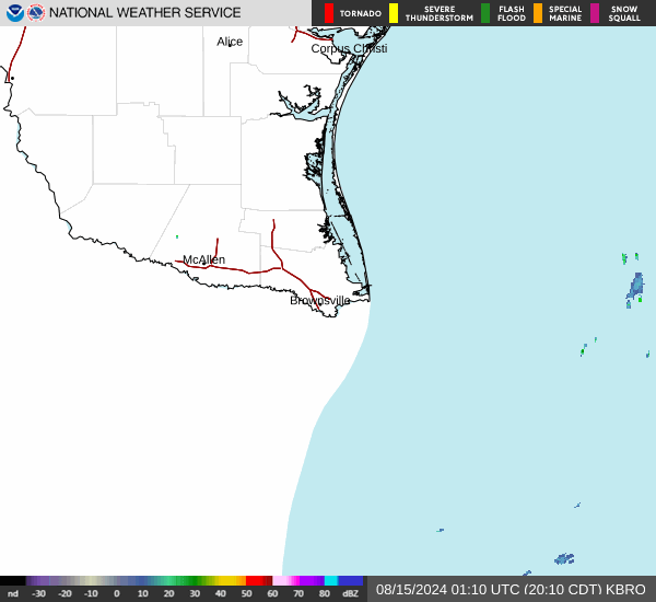
Current Radar Image
Sun Almanac for Zapata, Texas
Sunrise: 07:04 AM
Sunset: 8:06 PM
Civil Sunrise:06:40 AM
Civil Sunset: 8:31 PM
Nautical Sunrise: 06:11 AM
Nautical Sunset: 8:59 PM
Astro Sunrise: 05:42 AM
Astro Sunset: 9:29 PM
Texas' Current Temperatures
 Texas' Satellite Image
 Texas' Current Wind Direction
| National Summary |
of upper and lower values of current conditions amongst 6988 locations
in the contiguous United States |
|
High
Temp |
95° |
Presidio, Texas
|
|
Low
Temp |
28° |
Clayton Lake, Maine
|
|
Wind
Speed |
36mph |
Tonopah, Nevada
|
|
Wind
Gust |
46mph |
Tonopah, Nevada
|
|
Wind
Chill |
17° |
Frenchville, Maine
|
|
High
Pressure |
30.40Hg |
Salida Mountain, Colorado
|
|
Low
Pressure |
29.68Hg |
Houlton, Maine
|
|
| # Locations Reporting Snow |
3 |
|
| # Locations Reporting Rain |
26 |
|
| # Locations Reporting Fog |
1 |
|
| Average Temperature in the Contiguous USA |
67° |
|
Any use of the information on this page is at your own risk. This information should not be relied upon in life-threatening situations, potential financial loss situations or in lieu of any officially disseminated information. Visit the
National Weather Service for official information.