Watsonville, California Weather
No Watches or Warnings for Watsonville
Issued: 1:26 pm PDT Apr 18, 2024 Latitude: 36.910231 Longitude: -121.7568946 View on Google Maps
|
|
|
|
|
|
|
|
|
|
 |
 |
|
 |
 |
 |
|
|
| Low: °F |
High: °F |
High: °F |
High: °F |
High: °F |
High: °F |
High: °F |
High: °F |
| Low: °F |
Low: °F |
Low: °F |
Low: °F |
Low: °F |
Low: °F |
|
| Morning Fog |
Morning Fog |
Morning Fog |
Mostly Sunny |
Sunny |
Partly Sunny |
Partly Sunny |
Partly Sunny |
Current Conditions at
WATSONVILLE - (KWVI)
57°
Mostly Clear
as of 4:53 PM PDST
Rel. Humidity: 76%
Dew Point: 50°F
Visibility: 9 Miles
Pressure: 29.98 in.
Flight Rule: VFR
Cloud Level(s): Few at 1000ft
Current Conditions at
SALINAS - (KSNS)
57°
Mostly Cloudy
Haze
as of 5:30 PM PDST
Rel. Humidity: 76%
Dew Point: 50°F
Visibility: 6 Miles
Pressure: 29.96 in.
Flight Rule: MVFR
Wind Data
14 MPH
310° Northwest
Cloud Level(s): Broken at 1400ft
Current Conditions at
MONTEREY - (KMRY)
55°
Mostly Cloudy
as of 4:54 PM PDST
Rel. Humidity: 82%
Dew Point: 50°F
Visibility: 10 Miles
Pressure: 29.97 in.
Flight Rule: MVFR
Wind Data
12 MPH
Gust: 20 MPH
270° West
Cloud Level(s): Few at 600ft, Broken at 1000ft
Current Conditions at
SAN JOSE REID - (KRHV)
75°
Partly Cloudy
as of 4:47 PM PDST
Rel. Humidity: 50%
Dew Point: 55°F
Visibility: 10 Miles
Pressure: 29.90 in.
Flight Rule: VFR
Wind Data
14 MPH
300° Northwest
Cloud Level(s): Scattered at 9000ft
|
Tonight... Patchy drizzle after 11pm. Patchy fog between midnight and 1am. Otherwise, increasing clouds, with a low around 48. West southwest wind 5 to 7 mph becoming calm in the evening. |
|
|
Friday... Patchy drizzle before 11am. Areas of fog before 9am. Otherwise, mostly cloudy, then gradually becoming sunny, with a high near 63. Light and variable wind becoming west southwest 5 to 10 mph in the afternoon. |
|
 |
Friday Night... Mostly cloudy, with a low around 47. West southwest wind around 6 mph becoming calm in the evening. |
|
|
Saturday... Patchy fog between 8am and 9am. Otherwise, mostly cloudy through mid morning, then gradual clearing, with a high near 68. Light south wind becoming west 5 to 10 mph in the afternoon. |
|
 |
Saturday Night... Mostly clear, with a low around 47. Northwest wind 5 to 10 mph. |
|
|
Sunday... Mostly sunny, with a high near 69. |
|
|
Sunday Night... Mostly clear, with a low around 48. |
|
|
Monday... Sunny, with a high near 69. |
|
 |
Monday Night... Partly cloudy, with a low around 50. |
|
|
Tuesday... Partly sunny, with a high near 62. |
|
|
Tuesday Night... Mostly cloudy, with a low around 48. |
|
|
Wednesday... Partly sunny, with a high near 62. |
|
|
Wednesday Night... Mostly cloudy, with a low around 47. |
|
|
Thursday... Partly sunny, with a high near 61. |
|
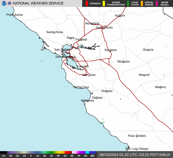
Current Radar Image
Sun Almanac for Watsonville, California
Sunrise: 06:28 AM
Sunset: 7:45 PM
Civil Sunrise:06:01 AM
Civil Sunset: 8:12 PM
Nautical Sunrise: 05:28 AM
Nautical Sunset: 8:44 PM
Astro Sunrise: 04:55 AM
Astro Sunset: 9:18 PM
California's Current Temperatures
 California's Satellite Image
 California's Current Wind Direction
| National Summary |
of upper and lower values of current conditions amongst 6376 locations
in the contiguous United States |
|
High
Temp |
99° |
Junction, Texas
|
|
Low
Temp |
18° |
Perryton, Texas
|
|
Wind
Speed |
40mph |
Salida Mountain, Colorado
|
|
Wind
Gust |
51mph |
Salida Mountain, Colorado
|
|
Wind
Chill |
4° |
Perryton, Texas
|
|
Heat
Index |
100° |
Del Rio, Texas
|
|
High
Pressure |
30.34Hg |
Cutbank, Montana
and 1 other location
|
|
Low
Pressure |
29.75Hg |
Bullhead City, Arizona
|
|
| # Locations Reporting Snow |
12 |
|
| # Locations Reporting Rain |
67 |
|
| # Locations Reporting Thunderstorms / Lightning |
10 |
|
| Average Temperature in the Contiguous USA |
61° |
|
Any use of the information on this page is at your own risk. This information should not be relied upon in life-threatening situations, potential financial loss situations or in lieu of any officially disseminated information. Visit the
National Weather Service for official information.