Keeneyville, Pennsylvania Weather
No Watches or Warnings for Keeneyville
Issued: 2:46 am EDT Apr 25, 2024 Latitude: 41.8606283 Longitude: -77.3046993 View on Google Maps
|
|
|
|
|
|
|
|
|
|
 |
 |
|
 |
 |
 |
 |
 |
| Low: °F |
High: °F |
High: °F |
High: °F |
High: °F |
High: °F |
High: °F |
High: °F |
| Low: °F |
Low: °F |
Low: °F |
Low: °F |
Low: °F |
Low: °F |
|
| Clear |
Sunny |
Sunny |
Rain |
Thunderstorms |
Mostly Sunny |
Rain |
Rain |
Current Conditions at
ELMIRA - (KELM)
28°
Clear
as of 1:53 AM EDST
Rel. Humidity: 86%
Dew Point: 25°F
Visibility: 10 Miles
Pressure: 30.24 in.
Flight Rule: VFR
Cloud Level(s): Clear
Current Conditions at
WELLSVILLE MUNI - (KELZ)
30°
Clear
as of 1:56 AM EDST
Rel. Humidity: 86%
Dew Point: 27°F
Visibility: 10 Miles
Pressure: 30.21 in.
Flight Rule: VFR
Wind Data
7 MPH
030° Northeast
Cloud Level(s): Clear
Current Conditions at
WILLIAMSPORT - (KIPT)
39°
Clear
as of 1:54 AM EDST
Rel. Humidity: 55%
Dew Point: 25°F
Visibility: 10 Miles
Pressure: 30.23 in.
Flight Rule: VFR
Cloud Level(s): Clear
Current Conditions at
DANSVILLE - (KDSV)
32°
Clear
as of 1:54 AM EDST
Rel. Humidity: 86%
Dew Point: 28°F
Visibility: 10 Miles
Pressure: 30.28 in.
Flight Rule: VFR
Cloud Level(s): Clear
|
Overnight... Widespread frost. Otherwise, clear, with a low around 26. North wind around 7 mph. |
|
|
Thursday... Widespread frost before 8am. Otherwise, sunny, with a high near 55. Northeast wind around 6 mph. |
|
|
Thursday Night... Clear, with a low around 25. Northeast wind around 6 mph becoming calm after midnight. |
|
|
Friday... Sunny, with a high near 61. Calm wind becoming south 5 to 9 mph in the morning. |
|
 |
Friday Night... Partly cloudy, with a low around 39. South wind 8 to 10 mph. |
|
|
Saturday... A chance of showers. Mostly cloudy, with a high near 55. Chance of precipitation is 50%. New precipitation amounts of less than a tenth of an inch possible. |
|
 |
Saturday Night... Mostly cloudy, with a low around 48. |
|
|
Sunday... A chance of showers and thunderstorms after 2pm. Partly sunny, with a high near 76. Chance of precipitation is 30%. |
|
 |
Sunday Night... A chance of showers and thunderstorms before 8pm. Partly cloudy, with a low around 56. Chance of precipitation is 30%. |
|
|
Monday... Mostly sunny, with a high near 82. |
|
 |
Monday Night... A chance of showers. Partly cloudy, with a low around 59. Chance of precipitation is 30%. |
|
|
Tuesday... Showers likely. Mostly cloudy, with a high near 76. Chance of precipitation is 70%. |
|
 |
Tuesday Night... Showers likely. Mostly cloudy, with a low around 51. Chance of precipitation is 60%. |
|
|
Wednesday... A chance of showers. Mostly sunny, with a high near 72. Chance of precipitation is 30%. |
|
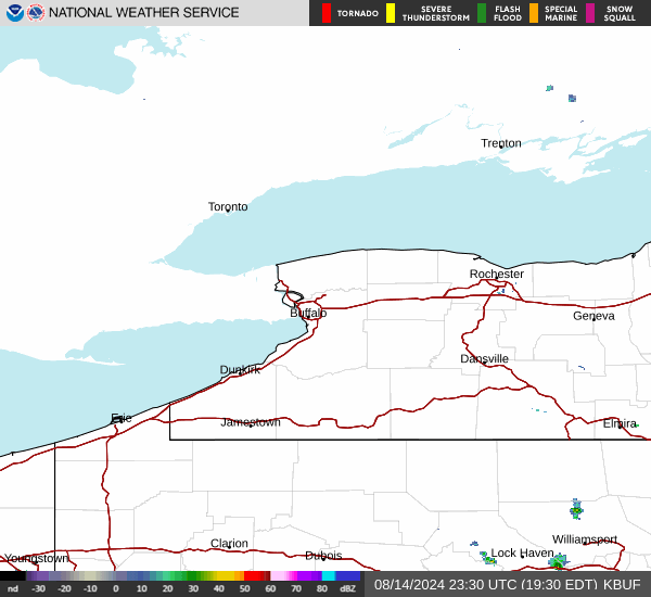
Current Radar Image
Sun Almanac for Keeneyville, Pennsylvania
Sunrise: 06:13 AM
Sunset: 8:02 PM
Civil Sunrise:05:43 AM
Civil Sunset: 8:31 PM
Nautical Sunrise: 05:06 AM
Nautical Sunset: 9:08 PM
Astro Sunrise: 04:27 AM
Astro Sunset: 9:47 PM
Pennsylvania's Current Temperatures
 Pennsylvania's Satellite Image
 Pennsylvania's Current Wind Direction
| National Summary |
of upper and lower values of current conditions amongst 7049 locations
in the contiguous United States |
|
High
Temp |
81° |
Phoenix, Arizona
and 2 other locations
|
|
Low
Temp |
-33° |
Front Royal, Virginia
|
|
Wind
Speed |
28mph |
Midland, Texas
|
|
Wind
Gust |
41mph |
El Centro, California
|
|
Wind
Chill |
4° |
Greenville, Maine
and 1 other location
|
|
High
Pressure |
30.37Hg |
Salida Mountain, Colorado
|
|
Low
Pressure |
29.69Hg |
Roundup, Montana
|
|
| # Locations Reporting Snow |
1 |
|
| # Locations Reporting Rain |
16 |
|
| # Locations Reporting Fog |
8 |
|
| Average Temperature in the Contiguous USA |
52° |
|
Any use of the information on this page is at your own risk. This information should not be relied upon in life-threatening situations, potential financial loss situations or in lieu of any officially disseminated information. Visit the
National Weather Service for official information.